What is recorded here
No visible fort remains at Creggane, though local memory and old surveys agree that a round fortress once stood there. It has vanished completely, leaving no ridge, ditch or broken stone to mark the place. What is left is a hole in the landscape where a building should be, remembered only through the accounts of people who saw it before it disappeared.
Bowman (1934, 577) records levelled, single-ramparted fort (diam. c. 34yd) on D. McCarthy's land. Exact location not known.
The above description is derived from the published 'Archaeological Inventory of County Cork. Volume 4: North Cork' (Dublin: Stationery Office, 2000). In certain instances the entries have been revised and updated in the light of recent research.
Date of upload/revision: 14 January 2009
The monument record does not grant public access. Check the route and ask the landowner before entering private land.
- What survives
- Recorded monument
Places near here
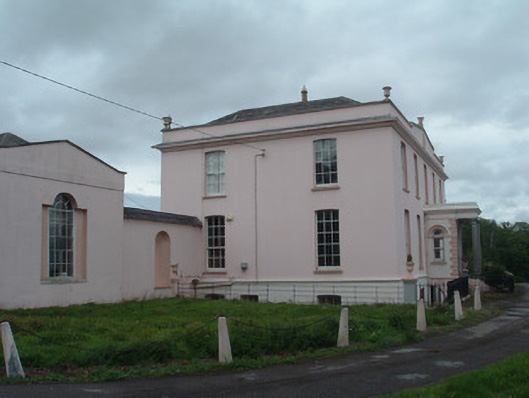 Waterloo Housecountry house · 277 yd
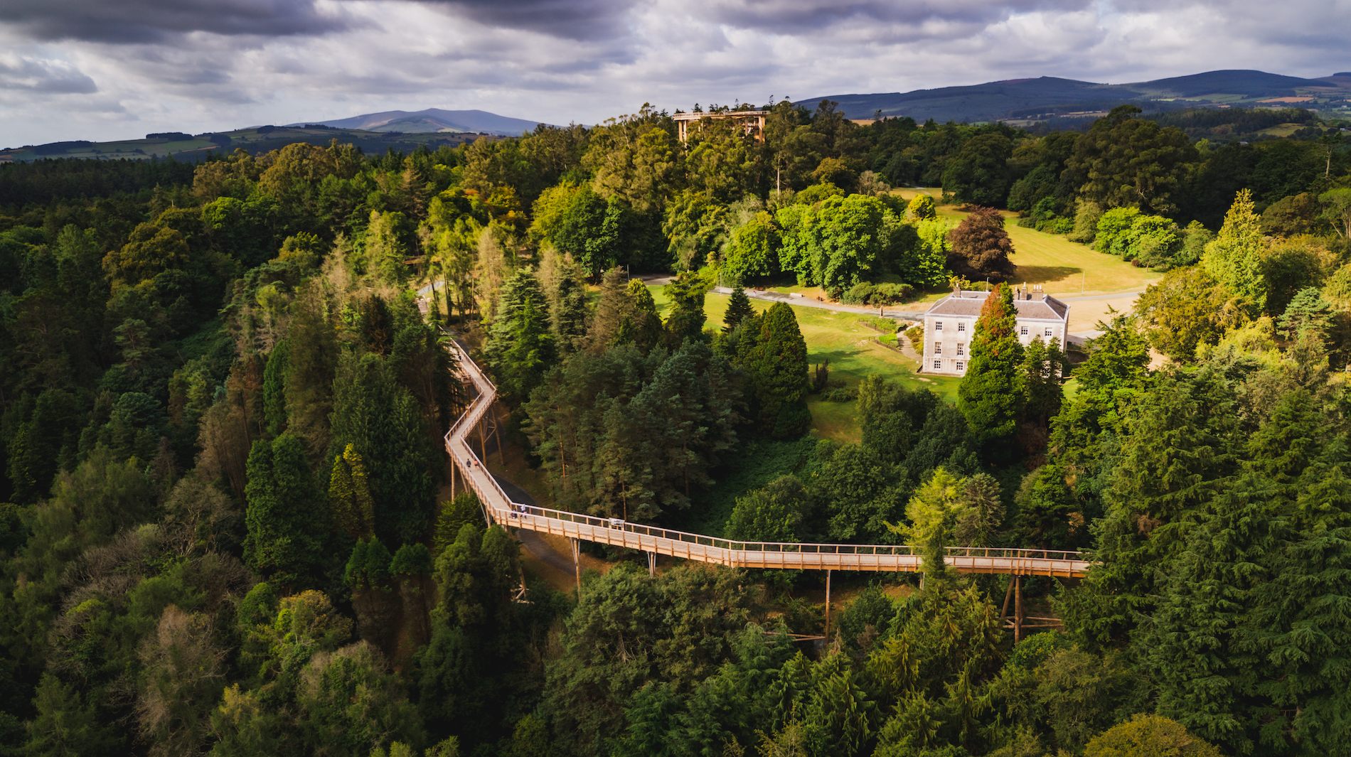 Fulacht fia in WoodparkFulacht fia · 678 yd
 WoodparkCountry house · 892 yd
 Dromaneen CastleHeritage attraction · 1508 yd
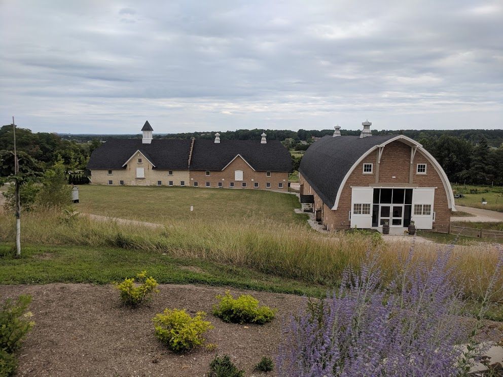 Man-made underground passage in Dromrastill,woodparkMan-made underground passage · 1.1 mi
 Lohort CastleCastle, tower house · 2.6 mi
 Gurteenkreen Castle (Site of)Castle, unclassified · 2.7 mi
 Graveyard in Ballygiblin (duhallow By.)Graveyard · 3.8 mi
 In loving memory of Elvis O'DonoghueMemorial · 3.9 mi
 Mount HillaryMountain / peak · 4.1 mi
 Mount Hillary - Knightfield LoopWalking route · 4.4 mi
 Mount Hillary - Mount Hillary LoopWalking route · 4.6 mi