What is recorded here
Situated on top of a slight rise, in gently undulating, rough pasture and scrub. Ringfort (WM024-168----) lies c. 25m to WNW. Bivallate monument described as a roughly circular-shaped area enclosed by an inner bank, an intervening fosse, a wide berm, an outer bank and an outer fosse. No clear entrance feature visible. The inner earthen bank is well-defined and there are slight remains of an intervening fosse. A wide berm is present outside the intervening fosse. There is a low linear bank extending radially across the berm at ESE. The remains of an outer earthen bank are almost completely defaced. Slight traces of an outer fosse are visible from SSW-W-N-E-S-SE and are completely filled up from SE-S-SSW. A later bank intersects the outer scarp at ESE. The interior has a gentle rise toward the centre and is traversed by old cultivation ridges running N-S. The site is almost completely obscured by dense vegetation.
Compiled by Alison McQueen, Vera Rahilly and Caimin O’Brien.
Date of upload: 28 August 2019
The monument record does not grant public access. Check the route and ask the landowner before entering private land.
- What survives
- Recorded monument
Places near here
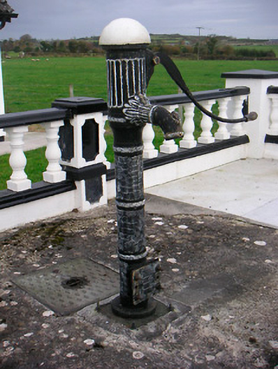 water pumpwater pump · 225 yd
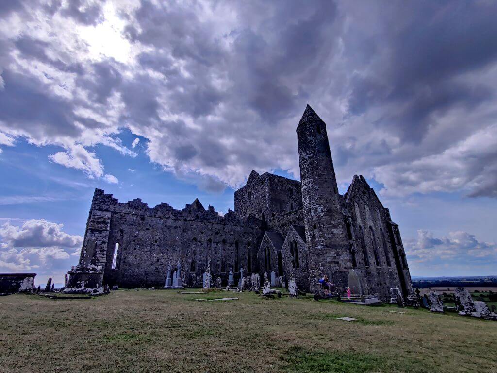 Partially hachuredFairy fort / earthen ringfort · 700 yd
 IndicatedChurch · 835 yd
 Partially outlinedEnclosure · 864 yd
 CastleCastle, unclassified · 1337 yd
 Stremmingstown CastleCastle · 1.1 mi
 Sam's ParkForest · 1.4 mi
 Hill of UisneachMountain / peak · 2.6 mi
 KnockastiaMountain / peak · 2.8 mi
 Japanese pagoda treeJapanese pagoda tree · 3.0 mi
 Charles BianconiMemorial · 7.5 mi
 The Bob Traynor GalleryGallery · 7.6 mi