What is recorded here
Fairy fort / earthen ringfort in Creeve (clonlonan By.) is a fairy fort or earthen ringfort in Creeve (clonlonan By.), County Westmeath, Ireland. Situated on a south-facing slope of a low ridge running east to west in undulating pasture, the monument was described in 1979 as a roughly circular area measuring 47 metres north-south and 43 metres east-west, enclosed by a low bank almost reduced to a scarp. The bank appears very faint from west through north to east to south and was incorporated into a later field bank from south-southwest, with no indications of an entrance recorded within the interior.
Situated on S-facing slope of a low ridge running E-W, in undulating pasture, with good views to S, SW and SE. Depicted on the revised 1910 ed. OS 25-inch map as a suboval-shaped earthwork. Monument described in 1979 as a roughly circular-shaped area (dims. 47m N-S; 43m E-W) enclosed by a low bank which is almost reduced to a scarp. The bank is very faint and low from W-N-E-S and appears to have been incorporated into a later field bank from S-SW. The exterior of the bank seems to have been steepened at SW when excavating the mill race sometime during the 19th century, as depicted on the 1910 OS map. There are no indications of an entrance. The interior has a SW-facing slope and the remains of an earth and stone field bank running roughly N-S to W of centre. A small, low platform in the W quadrant seems to be due to the presence of natural rock outcrop. Modern field fences run close to W and N of the monument. A post-1700 lime kiln was built into S side of ringfort as depicted on the 1910 OS 25-inch map. Levelled monument is not visible today on Digital Globe aerial photography.
Compiled by Alison McQueen, Vera Rahilly and Caimin O’Brien.
Date of upload: 07November 2019
The monument record does not grant public access. Check the route and ask the landowner before entering private land.
- What survives
- Recorded monument
Places near here
 OutlinedEnclosure · 580 yd
 Creeve CastleCastle, tower house · 582 yd
 Fooran WellHoly well · 1434 yd
 farm housefarm house · 1662 yd
 outbuildingoutbuilding · 1679 yd
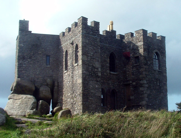 Carn CastleCastle, tower house · 1.0 mi
 Dún na Sí Heritage CentreMuseum · 3.5 mi
 Dún na SíMuseum · 3.5 mi
 Charles BianconiMemorial · 4.2 mi
 Temple's IslandIslet · 4.3 mi
 Moate HillMountain / peak · 4.4 mi