What is recorded here
Thirty years of rain and roots have swallowed the interior, leaving only a pointed earthen ridge to mark the circle beneath the marsh. The fort sits at the foot of a west-facing slope in Courtbrown, waiting for someone willing to walk through dense overgrowth rather than around it. Its sheer outer face still rises nearly three metres, proof that the boundary was built to be seen before it was built to be entered.
In marshy pasture, at foot of W-facing valley slope. Sub-circular area (diam. c. 40m) enclosed by earthen bank with external fosse (D 0.5m; Wth 5.5m); most of enclosing element and all of interior masked by dense overgrowth. Bank (int. H 1.8m; ext. H 2.85m), best preserved SW->NW, with pointed top and sheer external face. Fosse is waterlogged SSE->SW where crossed by abutting field boundaries at either end. Interior only accessible along W edge as otherwise covered by dense overgrowth.
Compiled by: Denis Power
Date of upload: 26 August 2011
The monument record does not grant public access. Check the route and ask the landowner before entering private land.
- What survives
- Recorded monument
Places near here
 Court BrownArchaeological place · 725 yd
 Ballynash CastleCastle, unclassified · 830 yd
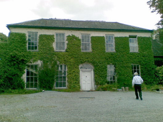 Ballysteen Housecountry house · 1190 yd
 Courtbrown PointHeadland · 1.0 mi
 Greenish IslandIslet · 1.1 mi
 OutlinedCliff-edge fort · 1.2 mi
 Tomdeely CastleCastle · 1.3 mi
 Holly IslandIslet · 1.5 mi
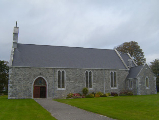 Saint Patrick's Catholic Churchchurch/chapel · 1.6 mi
 Askeaton CastleHeritage attraction · 2.1 mi
 Herring RockNamed rock · 2.5 mi
 European YewEuropean Yew · 4.8 mi