What is recorded here
Courtbrack holds a twenty-five metre earthen ring where stone still lines the inner north face and a broad eastern gap admits daylight. Conifers crowd the centre now, but the bank and western ditch mark a boundary drawn before written memory. A shallow pit north of the fort yielded charcoal-flecked clay, suggesting fire and human presence rather than fairy invention. The name changes, the shape does not.
In pasture. Circular, slightly raised area (diam. 25m) defined by earthen bank (H 2.5m), with remains of stone facing along inner face to N. Fosse (D 0.7m) survives where laneway skirts site to W. Outer fence of laneway may be remains of second bank (H 1.2m). Entrance (Wth 5m) to E. Interior planted with coniferous trees. Approximately 10m to N of ringfort, shallow pit with setting of stones discovered during ploughing. Pit contained brown putty-like clay with flecks of charcoal.
The above description is derived from the published 'Archaeological Inventory of County Cork. Volume 3: Mid Cork' (Dublin: Stationery Office, 1997). In certain instances the entries have been revised and updated in the light of recent research.
Date of upload/revision: 14 January 2009
The monument record does not grant public access. Check the route and ask the landowner before entering private land.
- What survives
- Recorded monument
Places near here
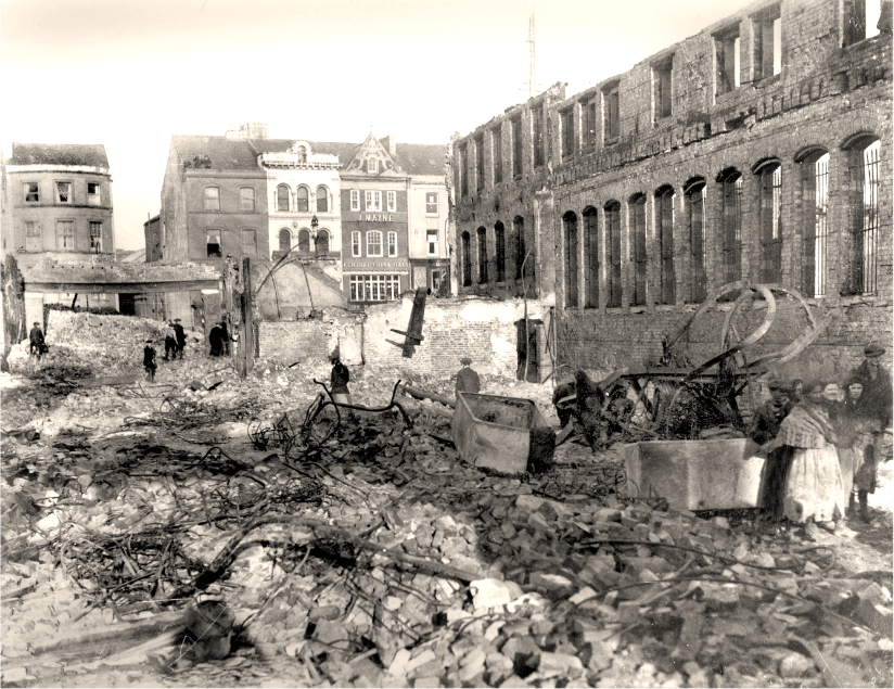 Burnt spread in CourtbrackBurnt spread · 70 yd
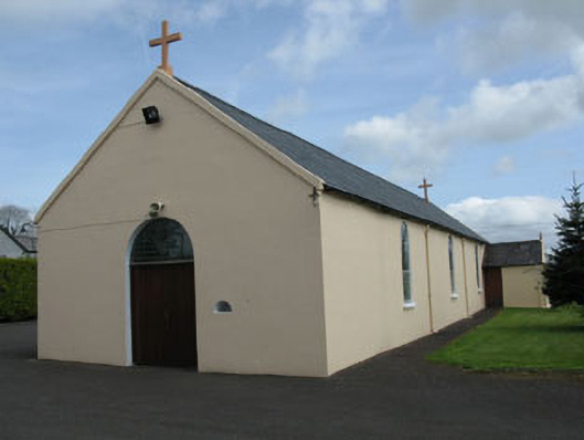 St Joseph's Roman Catholic Churchchurch/chapel · 723 yd
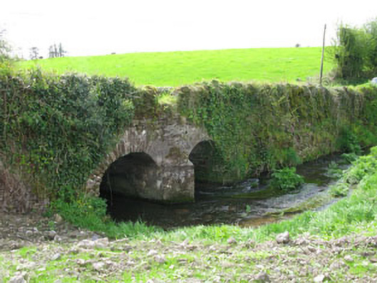 Courtbrack Bridgebridge · 947 yd
 IndicatedFairy fort / earthen ringfort · 1601 yd
 Castle (Site of)Castle, unclassified · 1.2 mi
 Ballyvodane Castle (in Ruins)Castle, unclassified · 2.0 mi
 Pairc Ath Na hEornaMemorial · 2.4 mi
 Pakie HoganMemorial · 2.4 mi
 BatsVisitor information · 3.2 mi
 Ballyanly Inniscarra Slí na SláinteWalking route · 3.3 mi
 Waterloo Loop WalkWalking route · 3.4 mi
 River Martin Mill & WeirVisitor information · 3.4 mi