
What is recorded here
Indicated is a levelled fairy fort in County Cork whose low bank still marks a thirty-seven metre circle. Cattle graze above the buried ridge while people remember the chamber beneath, waiting for the door to reopen after midnight.
In pasture. Depicted as hachured circular enclosure (diam. c. 35m) on 1842 and 1904 OS 6-inch map; broken line enclosing circular area (diam. c. 40m) on 1937 OS 6-inch map. Levelled; bank survives as low rise enclosing circular area (diam. 37m).
The above description is derived from the published 'Archaeological Inventory of County Cork. Volume 3: Mid Cork' (Dublin: Stationery Office, 1997). In certain instances the entries have been revised and updated in the light of recent research.
Date of upload/revision: 14 January 2009
The monument record does not grant public access. Check the route and ask the landowner before entering private land.
- What survives
- Recorded monument
Places near here
 Fulacht FiadhFulacht fia · 443 yd
 Fulachta FiadhFulacht fia · 456 yd
 Water millWater mill, horizontal-wheeled · 526 yd
 Castle (Site of)Castle, unclassified · 1340 yd
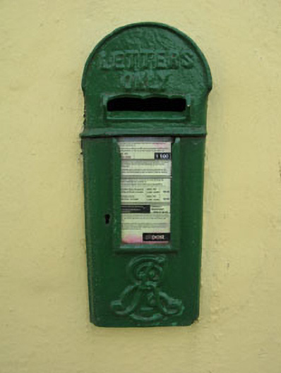 post boxpost box · 1454 yd
 Garrycloyne Castle (in Ruins)Castle, tower house · 1.2 mi
 Pakie HoganMemorial · 1.5 mi
 Pairc Ath Na hEornaMemorial · 1.8 mi
 BatsVisitor information · 2.3 mi
 Waterloo Loop WalkWalking route · 2.5 mi
 River Martin Mill & WeirVisitor information · 2.5 mi
 Lion RockNamed rock · 3.0 mi
Other information
Photo: Credit not shown in the picture search · Rights wording not checked; contact us if this picture should be removed