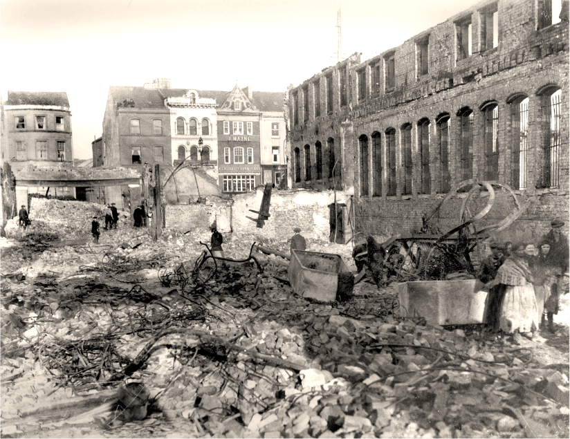
What is recorded here
Ten metres of dark soil and scattered stones mark a vanished fire beside the Courtbrack ringfort. The earth still holds heat from kitchens, forges or festivals now forgotten. A person may have stood there at dawn, breathing smoke into the valley before the field swallowed the trace.
In pasture, on E-facing slope, c. 40m E of ringfort (8222) and adjacent to well. Grass-covered spread of dark soil containing some stones; according to landowner, spread measures c. 10m X 10m. Material not consistent with that of fulacht fiadh.
The above description is derived from the published 'Archaeological Inventory of County Cork. Volume 3: Mid Cork' (Dublin: Stationery Office, 1997). In certain instances the entries have been revised and updated in the light of recent research.
Date of upload/revision: 14 January 2009
The monument record does not grant public access. Check the route and ask the landowner before entering private land.
- What survives
- Recorded monument
Places near here
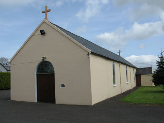 St Joseph's Roman Catholic Churchchurch/chapel · 791 yd
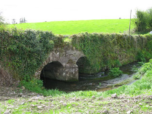 Courtbrack Bridgebridge · 1016 yd
 IndicatedFairy fort / earthen ringfort · 1534 yd
 Man-made underground passage in Loughane EastMan-made underground passage · 1.1 mi
 Castle (Site of)Castle, unclassified · 1.2 mi
 Ballyvodane Castle (in Ruins)Castle, unclassified · 2.1 mi
 Pairc Ath Na hEornaMemorial · 2.3 mi
 Pakie HoganMemorial · 2.4 mi
 BatsVisitor information · 3.1 mi
 Waterloo Loop WalkWalking route · 3.3 mi
 Ballyanly Inniscarra Slí na SláinteWalking route · 3.4 mi
 River Martin Mill & WeirVisitor information · 3.4 mi
Other information
Photo: Credit not shown in the picture search · Rights wording not checked; contact us if this picture should be removed