What is recorded here
Fairy fort in Corrakeeran, County Meath: a 30m grass ring on a drumlin crest, ninety metres west of Rath. It escaped the survey maps, yet the slight scarp still marks the edge of a place people shaped before measurement. Perhaps it was a home, a boundary, or a trap for the careless; in any case, the land kept its own record longer than the drafters did.
Situated at the crest of the W-facing slope of an E-W drumlin ridge. It is not depicted on any OS map. It was described in 1968 as a circular grass-covered area (diam. 30m) that is defined by a slight scarp (SMR file). Rath (ME002-011----) is c. 90m to the E.
The above description is derived from the published 'Archaeological Inventory of County Meath' (Dublin: Stationery Office, 1987). In certain instances the entries have been revised and updated in the light of recent research.
Compiled by: Michael Moore
Date of revision: 31 August 2018
The monument record does not grant public access. Check the route and ask the landowner before entering private land.
- What survives
- Recorded monument
Places near here
 The CurraghWood · 655 yd
 Church of the Immaculate Conceptionchurch/chapel · 1334 yd
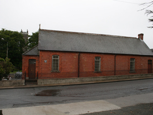 Kingscourt Parochial Hallchurch hall/parish hall · 1454 yd
 Cross in EnniskeenCross · 1751 yd
 Portal tomb in ErveyPortal tomb · 1.0 mi
 CabraMountain / peak · 1.6 mi
 Dún a Rí Forest ParkForest · 1.7 mi
 Castle ruinsCastle, unclassified · 1.9 mi
 In Memory of Our DadMemorial · 1.9 mi
 Natural Play AreaMemorial · 1.9 mi
 Castle in ruinsCastle, unclassified · 2.0 mi
 BarleyhillMountain / peak · 2.6 mi