What is recorded here
Fairy fort in Corrabul, County Limerick: a circular earthen enclosure about 30 metres across, still visible in pasture southeast of the Honeypound boundary. It appeared on the 1840 survey map, vanished from later ones, and reappeared in satellite images as a ring with a surrounding ditch. People may have lived there, fenced it, or simply walked past it; the earth keeps its shape regardless.
In pasture, 190m SE of the townland boundary with Honeypound. A ringfort (LI030-030----) is located 190m to SE. The site is depicted as an enclosure on the 1840 ed. OSi 6-inch map but is not recorded on the 1897 ed. OSi 25-inch map or later OSi map editions. The ringfort is visible on OSi orthoimage taken 2005-12 and on Digital Globe orthoimages taken 2011-2013 as a circular enclosure (ext. dims. c. 30m N-S; 28m E-W) surrounded by a fosse. The site is visible on Google Earth orthoimages taken 16/03/2016 and 14/02/2020.
See attached Google Earth orthoimages
Compiled by: Edmond O’Donovan
Date of upload: 29 September 2020
The monument record does not grant public access. Check the route and ask the landowner before entering private land.
- What survives
- Recorded monument
Places near here
 Hachured (1924).Fairy fort / earthen ringfort · 253 yd
 Tarbrook Housecountry house · 407 yd
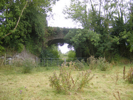 bridgebridge · 416 yd
 Hachured, The HovelEnclosure · 416 yd
 Biodiversity in the Maigue CatchmentVisitor information · 1423 yd
 CastleCastle, Anglo-Norman masonry castle · 1.0 mi
 European ashEuropean ash · 1.1 mi
 Dysert AenghusaHeritage attraction · 1.8 mi
 Monasteranenagh AbbeyHeritage attraction · 1.9 mi
 Fanningstown Castle (in ruins)Castle, tower house · 2.0 mi
 Kinnoor WellSpring · 3.5 mi
 GinkgoGinkgo · 3.9 mi