What is recorded here
On a SE-facing slope in pasture. A raised circular area (diam. 30.6m) enclosed by a low bank of earth and stone (Wth 4.3m; H 0.4m) with a wide, shallow, intervening fosse (max. Wth 10.5m; D 0.2m), and from S-SSW-SW a low outer bank (Wth 3.1m; H 0.3m) with traces of an outer fosse (Wth 2.8m; D 0.15m). Elsewhere these features have been modified and incorporated into a field boundary. The original entrance may have been at E where there is a break (Wth 4.1m) in the bank with an accompanying causeway. A large number of deciduous trees are growing on the rath.
Compiled by: Patrick F. O'Donovan
Date of upload: 3 December 2011
The monument record does not grant public access. Check the route and ask the landowner before entering private land.
- What survives
- Recorded monument
Places near here
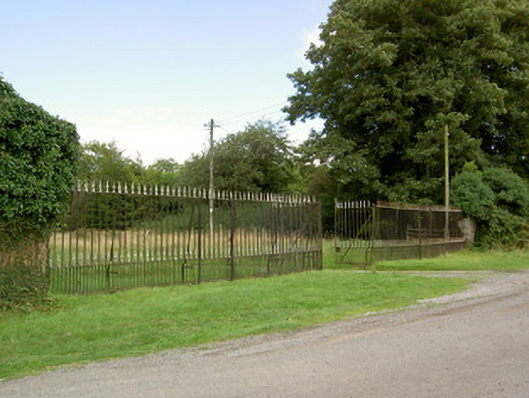 Doory Hallgates/railings/walls · 829 yd
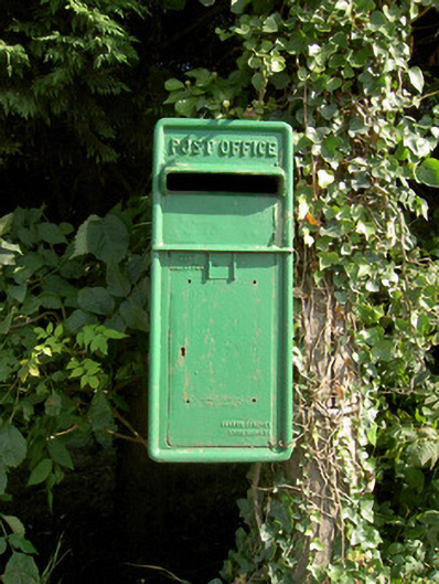 post boxpost box · 855 yd
 IndicatedFairy fort / earthen ringfort · 980 yd
 Not locatedCastle, unclassified · 1191 yd
 DoonphilipCastle, motte · 1348 yd
 Enclosure in Killeendowd,taghshinnyEnclosure · 1393 yd
 Newcastle WoodsForest · 2.1 mi
 Goldsmith Birthplace, PallasVisitor information · 2.2 mi
 Target WoodWood · 2.3 mi
 Guest ServicesVisitor information · 2.9 mi
 Craft WorkshopHeritage attraction · 2.9 mi
 National Famine WayWalking route · 4.3 mi