What is recorded here
No amount of forcing will make that which is absent appear.
On a rise in pastureland. Marked on the OS 1:2500 plan (surveyed 1912-16) as a bivallate circular enclosure (diam. c. 40m); an enclosed mixed tree plantation extended around it from NW to SE, the latter is not shown on the 1946 revision of the 6-inch map. No visible surface trace survives and a silage pit and sheds occupy the interior. The cartographic evidence suggests that this was probably a ringfort.
Compiled by: Galway Archaeological Survey, UCG
Date of upload: 26 February 2019
The monument record does not grant public access. Check the route and ask the landowner before entering private land.
- What survives
- Recorded monument
Places near here
 mill (wind)mill (wind) · 1338 yd
 Allington Househouse · 1555 yd
 Derryhiveny CastleCastle · 1.2 mi
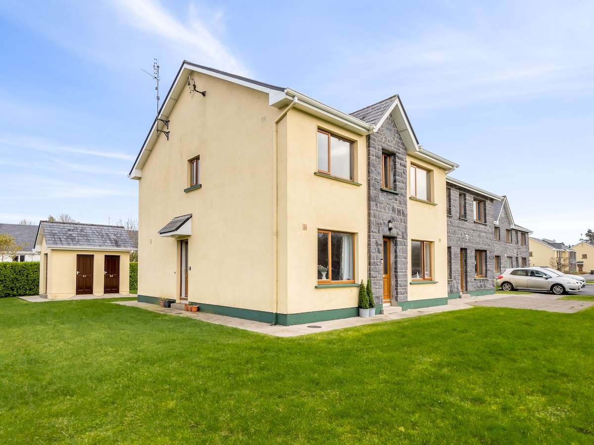 Enclosure in Cooldorragha (longford By.)Enclosure · 1.4 mi
 St. Patricks WellHoly well · 1.6 mi
 Longford Castle (in ruins)Castle, unclassified · 1.8 mi
 Long IslandIsland · 2.2 mi
 Portland IslandIsland · 2.3 mi
 Church HillMountain / peak · 2.8 mi
 European ashEuropean ash · 2.9 mi
 European YewEuropean Yew · 3.4 mi
 Portumna Castlegate lodge · 3.4 mi