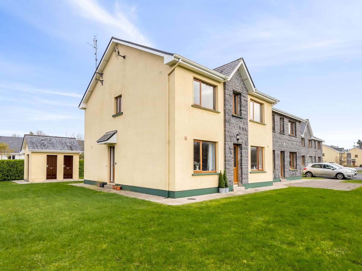
What is recorded here
On a hillock in grassland. Marked on the 1838 edition of the OS 6-inch map as a subrectangular enclosure (c. 26m ESE-WNW; c. 18m NNE-SSW) and on the OS 1:2500 plan (surveyed 1912-16) as a roughly circular enclosure (diam. c. 18m). No visible surface trace survives.
Compiled by: Galway Archaeological Survey, UCG
Date of upload: 22 February 2019
The monument record does not grant public access. Check the route and ask the landowner before entering private land.
- What survives
- Recorded monument
Places near here
 Enclosure in Lecarrow (portumna Ed)Enclosure · 1.1 mi
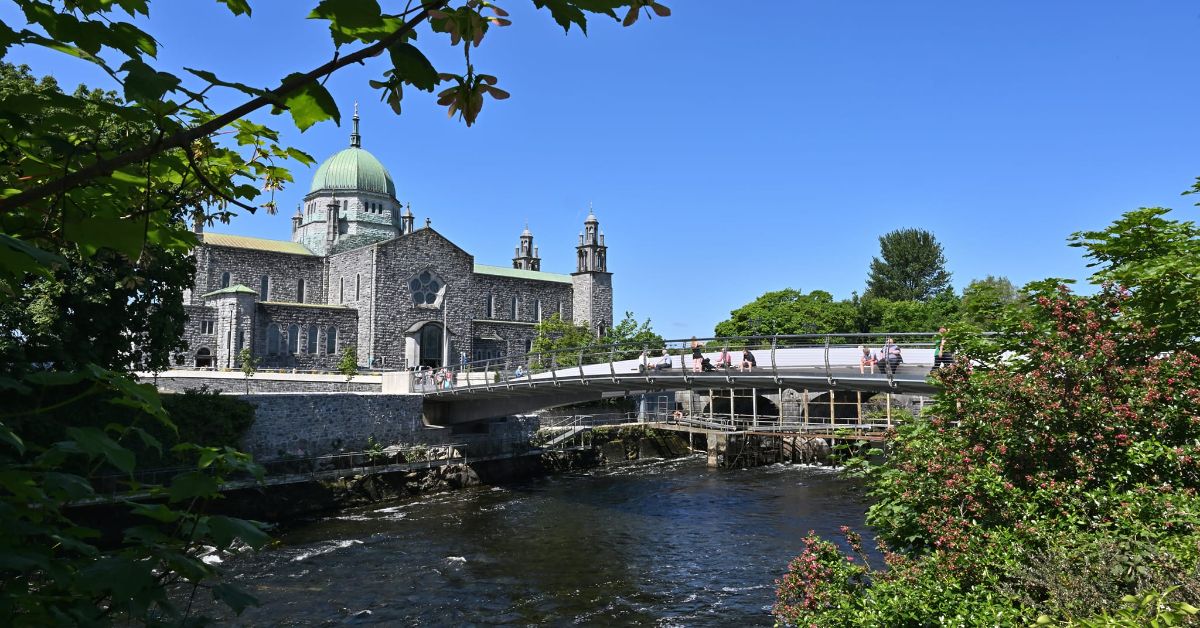 Convent in ruinsReligious house, Dominican friars · 1.1 mi
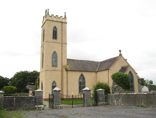 Catholic Church of Saint Peter and Saint Paulchurch/chapel · 1.1 mi
 Church HillMountain / peak · 1.4 mi
 Font in LickmolassyFont · 1.6 mi
 Derryhiveny CastleCastle · 2.0 mi
 European ashEuropean ash · 2.6 mi
 European YewEuropean Yew · 2.7 mi
 Portumna Castlegate lodge · 2.8 mi
 Gate HouseCastle · 2.9 mi
 Portland IslandIsland · 3.1 mi
 Sallow IslandIsland · 3.1 mi
Other information
Photo: Credit not shown in the picture search · Rights wording not checked; contact us if this picture should be removed