What is recorded here
Mud, water and time built a round chamber wide enough for thirty-seven paces, then hid it beneath leaves. The southeast gap and causeway still point to the door, while the county line runs in a thin stream past the wall. Whatever lived inside stopped answering long before roads reached the valley.
Raised circular area (int. diam. c. 37m WNW-ESE; c. 35m NNE-SSW) enclosed by a substantial earthen bank and a wide, deep fosse. An earlier report (OPW 1969) noted a break in the bank at SE with accompanying causeway which presumably represents the original entrance. From SE-S-W the site is skirted by a stream which forms part of the border between counties Cavan and Leitrim. Densely overgrown with vegetation.
The above description is derived from the published 'Archaeological Inventory of County Cavan' (Dublin: Stationery Office, 1995). In certain instances the entries have been revised and updated in the light of recent research.
Date of upload/revision: 22 December 2008
The monument record does not grant public access. Check the route and ask the landowner before entering private land.
- What survives
- Recorded monument
Places near here
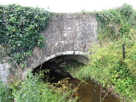 County Bridgebridge · 733 yd
 Cornagunleog ForestForest · 744 yd
 LisgruddyFairy fort / earthen ringfort · 1378 yd
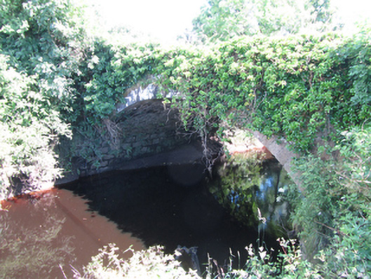 Blackwater Bridgebridge · 1523 yd
 IndicatedEnclosure · 1.1 mi
 Owengallees WoodlandForest · 1.6 mi
 Giants GraveArchaeological place · 2.1 mi
 DerrinivverMountain / peak · 2.2 mi
 Saint Mogue's IslandIslet · 2.2 mi
 CastleCastle, ringwork · 2.3 mi
 DrumgownaghMountain / peak · 2.4 mi
 Bawn in Cherry IslandBawn · 2.6 mi