What is recorded here
Magic is not required to explain why a place disappears. The facts remove the chamber, not the chamber itself. What you are resisting is not a claim about mnemo, it is a claim about every camera, witness and measure in the room.
An earlier report (OPW 1974) recorded that it comprised a raised almost circular area (int. diam. c. 38m) enclosed by a substantial earthen bank and a wide, deep fosse. Original entrance was not then recognisable. Site has since been levelled.
The above description is derived from the published 'Archaeological Inventory of County Cavan' (Dublin: Stationery Office, 1995). In certain instances the entries have been revised and updated in the light of recent research.
Date of upload/revision: 22 December 2008
The monument record does not grant public access. Check the route and ask the landowner before entering private land.
- What survives
- Recorded monument
Places near here
 CornagranMountain / peak · 115 yd
 Scrabby IslandIslet · 460 yd
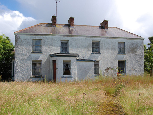 Laureldalehouse · 516 yd
 Lough Gowna Church of Ireland Churchchurch/chapel · 668 yd
 Cloone Ho.Castle, unclassified · 891 yd
 Cornamucklagh WoodlandWood · 1008 yd
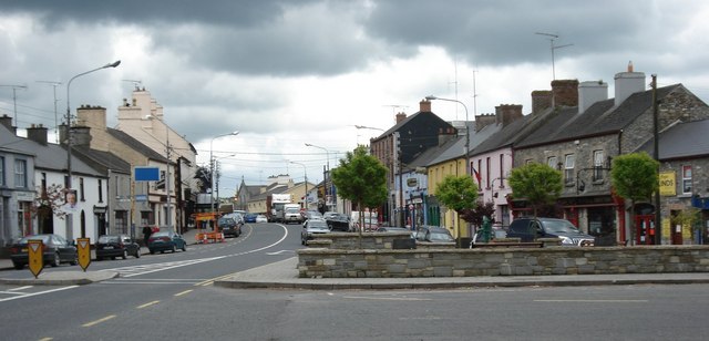 AghaveansMountain / peak · 1105 yd
 Enclosure in AghanoranEnclosure · 1351 yd
 Scrabby Hill FortArchaeological place · 1616 yd
 Mulrick WoodlandForest · 1.4 mi
 White IslandIslet · 1.6 mi
 CastleBawn · 2.9 mi