What is recorded here
No visible entrance remains, but the earthen bank still circles the grassy dome at the SE tip of the spur. Furze and bushes choke the ridge now, hiding the shape of whatever door once cut through it. The fort has lost its identity in the field boundary, yet the unbroken ring suggests it resisted every plough and every forgotten owner.
Located at the SE tip of a NW-SE spur. This is a circular slightly domed (H c. 1m) and grass-covered area (diam. 29.7m NNW-SSE; 27.5m NE-SW) defined by an earthen bank (Wth 3.6-5m; int. H 0.1m; ext. H 1.2-1.8m) covered with furze and some bushes that is incorporated into a field bank SW-NW-NNE. There is no visible fosse and the original entrance is not identified.
The above description is derived from the published 'Archaeological Inventory of County Monaghan' (Dublin: Stationery Office, 1986). In certain instances the entries have been revised and updated in the light of recent research.
Revised by: Michael Moore
Date of revision: 30 January 2018
The monument record does not grant public access. Check the route and ask the landowner before entering private land.
- What survives
- Recorded monument
Places near here
 LabbyfirmoreCist · 813 yd
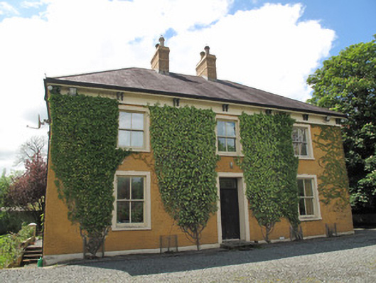 Laragh Househouse · 832 yd
 Laragh National Schoolschool · 901 yd
 Gully IslandIslet · 1138 yd
 Enclosure in Beagh (cremorne By.)Enclosure · 1233 yd
 Rock IslandIslet · 1361 yd
 Tally WoodWood · 1.7 mi
 Fincarn HillMountain / peak · 2.3 mi
 TobernagalliaghSpring · 3.2 mi
 KnockreaghMountain / peak · 4.6 mi
 Mannan Castle (in ruins)Castle, Anglo-Norman masonry castle · 4.6 mi
 The CrescentMemorial · 5.0 mi