What is recorded here
Fairy forts are earthen ringforts where people lived before records began. This one sits on a narrow spur in Cornacarrow, shaped like a shallow bowl with a steep edge on one side and a gentle slope on the other. It has no visible gate, which suggests the entrance was hidden, lost, or never built the way ordinary forts show theirs. The field banks cutting through it reveal that the land kept changing long after the first residents left.
Situated on the summit of a NW-SE spur. This is a D-shaped and domed (H 2m at NE; 4m at SW) grass-covered area (dims 52m NE-SW; 47m NW-SE) defined by a scarp (at NE: Wth 3.4m; H 2.1m; at NW: Wth 1m; H 1.2m) with some bushes. There is no visible fosse or entrance, but the perimeter is slightly truncated by a NNE-SSW field bank at NW (L c. 30m), and an NW-SE field bank bisects the interior.
The above description is derived from the published 'Archaeological Inventory of County Monaghan' (Dublin: Stationery Office, 1986). In certain instances the entries have been revised and updated in the light of recent research.
Revised by: Michael Moore
Date of revision: 30 January 2018
The monument record does not grant public access. Check the route and ask the landowner before entering private land.
- What survives
- Recorded monument
Places near here
 LabbyfirmoreCist · 759 yd
 Laragh National Schoolschool · 979 yd
 Gully IslandIslet · 1021 yd
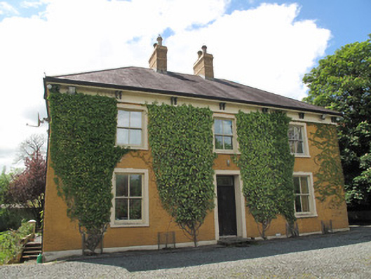 Laragh Househouse · 1027 yd
 Rock IslandIslet · 1186 yd
 Enclosure in Beagh (cremorne By.)Enclosure · 1341 yd
 Tally WoodWood · 1.7 mi
 Fincarn HillMountain / peak · 2.3 mi
 TobernagalliaghSpring · 3.3 mi
 KnockreaghMountain / peak · 4.6 mi
 Mannan Castle (in ruins)Castle, Anglo-Norman masonry castle · 4.7 mi
 The CrescentMemorial · 4.9 mi