What is recorded here
That is a fairy fort, an earthen ring on a drumlin above Lough Egish, with a true entrance at east-southeast and a later gap at west. People may have lived there, marked territory, or avoided it because the land still belongs to the dead. The cist outside the fosse suggests someone was buried near the boundary, not forgotten inside it.
Situated on top of a drumlin overlooking the S shore of Lough Egish which is c. 200m to the N. This is a subcircular grass and scrub-covered area (dims 40m E-W; 35m N-S) defined by a grass-covered earthen bank and an outer fosse. There is a gap (Wth of base 1.6m) at W but the original entrance (Wth of base 2.5m) is at ESE. Outside the fosse at SW is a large cist (MO024-036----).
The above description is derived from the published 'Archaeological Inventory of County Monaghan' (Dublin: Stationery Office, 1986). In certain instances the entries have been revised and updated in the light of recent research.
Revised by: Michael Moore
Date of revision: 9 May 2018
The monument record does not grant public access. Check the route and ask the landowner before entering private land.
- What survives
- Recorded monument
Places near here
 LabbyfirmoreCist · 33 yd
 Gully IslandIslet · 440 yd
 Laragh National Schoolschool · 592 yd
 Rock IslandIslet · 933 yd
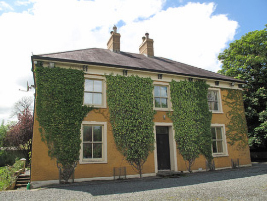 Laragh Househouse · 1309 yd
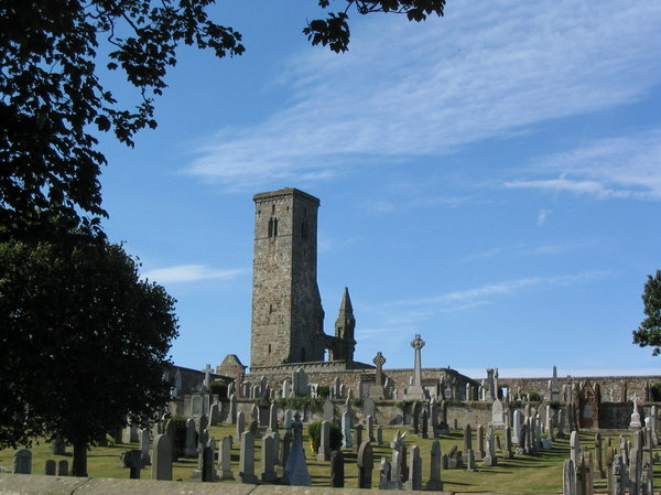 Grave YardGraveyard · 1.0 mi
 Fincarn HillMountain / peak · 1.9 mi
 Tally WoodWood · 2.1 mi
 TobernagalliaghSpring · 3.3 mi
 KnockreaghMountain / peak · 4.3 mi
 The CrescentMemorial · 4.5 mi
 Monaghan WayWalking route · 4.6 mi