What is recorded here
Thirty-two metres across and still standing, the Corlislea ringfort holds its shape despite centuries of ploughs and boundary walls. Its deep eastern ditch and substantial bank suggest a place built to exclude, perhaps even to frighten, while local memory claims a second outer wall existed until recently levelled. The entrance has vanished, but the circle remains clear enough to walk inside and imagine the hands that shaped it.
Raised circular area (int. diam. 32.4m) enclosed by a substantial earthen bank and a fosse which is wide and deep from E-SSE. Elsewhere it has been infilled but its outline can be traced from WNW-N-E. Bank has been levelled from SSE-S-WNW. From N-ENE it has been incorporated into the field boundary. Original entrance not recognisable. Tradition suggests that the rath was originally bivallate and that the outer bank was levelled c. 100 years ago (local information).
The above description is derived from the published 'Archaeological Inventory of County Cavan' (Dublin: Stationery Office, 1995). In certain instances the entries have been revised and updated in the light of recent research.
Date of upload/revision: 22 December 2008
The monument record does not grant public access. Check the route and ask the landowner before entering private land.
- What survives
- Recorded monument
Places near here
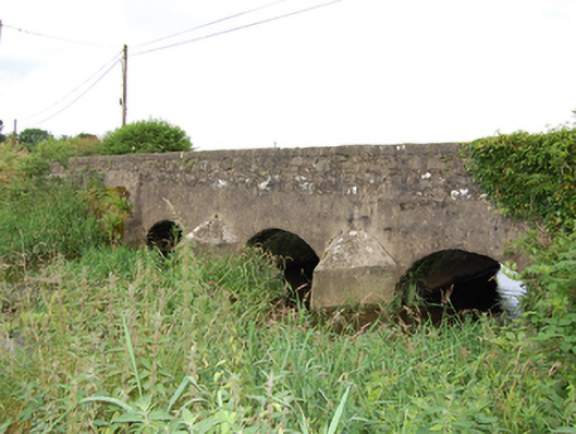 bridgebridge · 1556 yd
 Giant's GraveArchaeological place · 1.0 mi
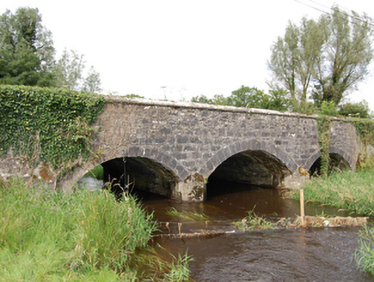 Derrin Bridgebridge · 1.1 mi
 Worm Ditch or Black Pigs RaceArchaeological place · 1.4 mi
 Enclosure in Ardkill MoreEnclosure · 1.5 mi
 Ardkill MoreMountain / peak · 1.5 mi
 Ardkill ForestForest · 1.5 mi
 Ardvarny ForestForest · 2.0 mi
 Dennmore or LeggandennMountain / peak · 2.9 mi
 Bawn in DuffcastleBawn · 3.4 mi
 Carricknagore RockNamed rock · 3.5 mi
 Bawn in MoynehallBawn · 4.7 mi