What is recorded here
Corlislea holds a thirty-metre circular fort where a substantial earthen bank still surrounds a grassy interior. People moved that earth into a field boundary, yet the eastern entrance and internal shape remain visible beneath vegetation. The fairy fort name suggests humans acknowledged the place as older or stranger before they changed its edges.
Raised circular area (int. diam. c. 30m) enclosed by a substantial earthen bank and vague remains of a fosse. Bank has been modified and incorporated into the field boundary. Break in bank at ESE may represent original entrance. Internal area overgrown with vegetation.
The above description is derived from the published 'Archaeological Inventory of County Cavan' (Dublin: Stationery Office, 1995). In certain instances the entries have been revised and updated in the light of recent research.
Date of upload/revision: 22 December 2008
The monument record does not grant public access. Check the route and ask the landowner before entering private land.
- What survives
- Recorded monument
Places near here
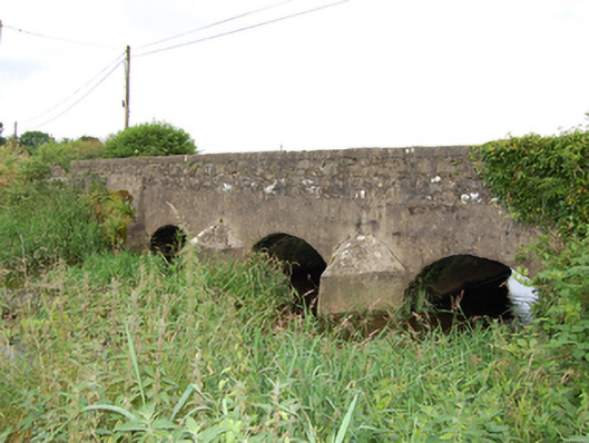 bridgebridge · 1532 yd
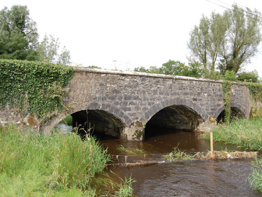 Derrin Bridgebridge · 1.1 mi
 Giant's GraveArchaeological place · 1.2 mi
 Worm Ditch or Black Pigs RaceArchaeological place · 1.6 mi
 Enclosure in Ardkill MoreEnclosure · 1.6 mi
 Ardkill MoreMountain / peak · 1.6 mi
 Ardkill ForestForest · 1.7 mi
 Ardvarny ForestForest · 2.1 mi
 Dennmore or LeggandennMountain / peak · 3.0 mi
 Bawn in DuffcastleBawn · 3.5 mi
 Carricknagore RockNamed rock · 3.5 mi
 Bawn in MoynehallBawn · 4.7 mi