What is recorded here
Fairy fort in Corkeeran, County Monaghan: a 36m grass ring on a west-facing crest, with an inner bank, fosse, outer bank and an eastern gap. People may have lived, hidden or marked boundary there before the field took part of it back.
Located at the crest of a W-facing slope. This is a circular grass-covered area (diam. 36m NW-SE; 35m NE-SW) defined by an earthen bank that is best preserved (at SSW: Wth of base 5.2m; int. H 0.2m; ext. H 2.3m) SSE-W-N and separated by a fosse (at SSW: Wth of top 4m; Wth of base 2.4m; D 1.1m) from an outer earthen bank (at SSW: Wth of base 3.6m; Wth of top 1.6m; ext. H 2.2m). The fosse and outer bank are removed N-NE where a field bank is built at the base of the inner bank. A modern drain is outside the outer bank SSE-WSW and might incorporate an original outer fosse. The entrance through the inner bank (Wth of base 3.1m) is at E. The interior had become overgrown by 1995 (OSAP).
The above description is derived from the published 'Archaeological Inventory of County Monaghan' (Dublin: Stationery Office, 1986). In certain instances the entries have been revised and updated in the light of recent research.
Revised by: Michael Moore
Date of revision: 19 June 2018
The monument record does not grant public access. Check the route and ask the landowner before entering private land.
- What survives
- Recorded monument
Places near here
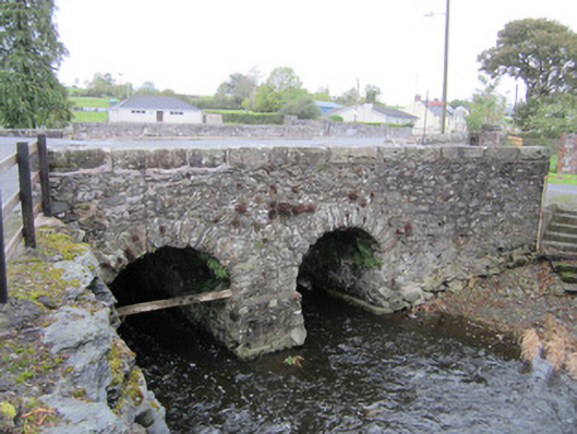 bridgebridge · 575 yd
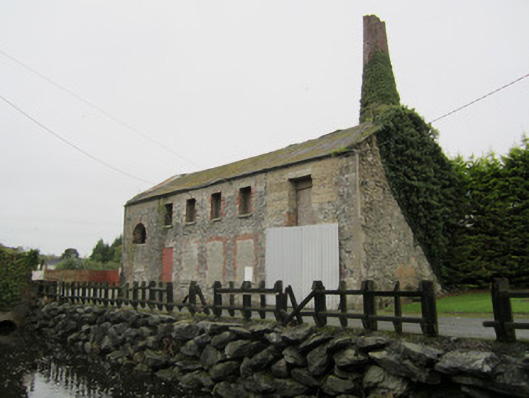 mill (water)mill (water) · 615 yd
 EnclosureEnclosure, large enclosure · 1.1 mi
 Embanked enclosureFairy fort / earthen ringfort · 1.2 mi
 LisnaspeenanMountain / peak · 1.6 mi
 Fedd HillMountain / peak · 1.9 mi
 Back WoodForest · 2.3 mi
 Dartrey ForestForest · 2.8 mi
 CastleCastle, unclassified · 5.3 mi
 Senator Billy Fox 1939 - 1974Memorial · 6.4 mi
 Roosky Castle (Site of)Castle, ringwork · 6.5 mi
 Gull IslandIslet · 9.1 mi