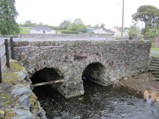
What is recorded here
Double-arch limestone road bridge, built c.1780, over Rockcorry River. Random rubble stone walling and parapets, latter with rock-faced copings with margins, and with concrete cutwater to north elevation. Slender stone voussoirs to arches to north elevation, and roughly dressed stone voussoirs to south…
Read the whole record
From the Buildings of Ireland (National Inventory of Architectural Heritage) record 41306004
Places near here
Photo credits
- National Inventory of Architectural Heritage
- Eric Jones, Geograph · CC BY-SA 2.0
- Kenneth Allen, Geograph · CC BY-SA 2.0
- This file is from the Mechanical Curator collection , a set of over 1 million images scanned from out-of-copyright books and released to Flickr Commons by the British Library. View image on Flickr View all images from book View catalogue entry for book ., Wikimedia Commons · Public domain
- D Gore, Geograph · CC BY-SA 2.0
- Enda O Flaherty, Wikimedia Commons · CC BY-SA 2.0
- Pamela Norrington, Wikimedia Commons · CC BY-SA 2.0
- Oliver Dixon, Geograph · CC BY-SA 2.0
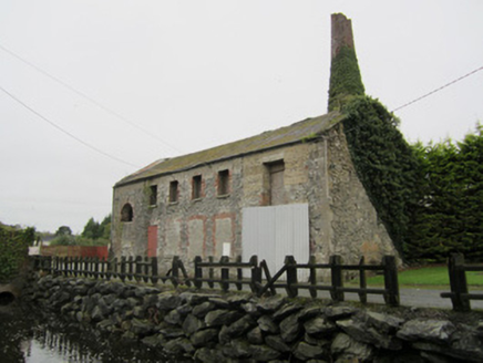 mill (water)52 yd
 Rockcorry Orange HallChurch/chapel · 163 yd
 school219 yd
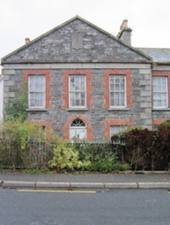 almshouse221 yd
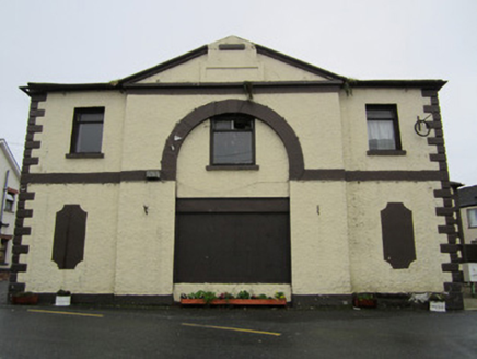 Rockcorry Market HouseMarket house · 226 yd
 LisnaspeenanMountain / peak · 1.3 miBack WoodForest · 2.0 mi
Explorer Tom Back Wood is a simple name for a complex ecosystem hiding right behind the main scenes of this county.
 Dartrey ForestForest · 2.4 mi
 Flagpole HillMountain / peak · 3.0 mi
 Giants GreveWedge tomb · 4.7 mi
 Cabragh RingfortArchaeological place · 5.9 mi
Explorer Tom Cabragh Ringfort is recorded as an archaeological place in County Cavan, likely a circular dwelling spot surrounded by banks that protected its ancient residents.
 Bush IslandIslet · 9.2 mi
Explorer Tom Bush Island might actually be a hidden crannog in Lough Sillan, waiting for us to discover its secret, mossy, ancient history today.
More historic places in County Monaghan · All of County Monaghan
What do you know about this place?Tap to add a comment or ask a question