What is recorded here
Killagriff fairy fort is a 39-metre earthen ring on a narrow spur, wrapped in wet ditches and overgrown banks that make entry feel like walking into a living thing. Its double defence and causeway suggest people valued exclusion as much as residence, perhaps keeping out rain, raiders or ordinary forgetfulness. The local fairy name does not dismiss human craft; it admits that the shape still resists full explanation.
Located at the tip of a N-S spur. This is a grass and rush-covered circular area (diam. 39m E-W) defined by an earthen bank (Wth of base 4.5-5m; int. H 0.6-0.8m; ext. H 3m) with bushes that is separated by a water-logged fosse (Wth of top 7.5m at W to 9-11m at E; Wth of base 2-3m; ext. D 1.2-1.5m) from an overgrown outer bank (Wth of base 6.8-8m; Wth of top 3m at E and W; ext. H 2.5-3m), and an outer fosse or drain (at W: Wth of top 1.8m; ext. D 0.4m) E-S-NW (max. ext. diam. 58m E-W). There is an entrance through the inner (Wth of base 3.4m) and outer (Wth 4.2m) banks with a causeway (Wth of top 2m; H 1m) across the inner fosse at SE.
The above description is derived from the published 'Archaeological Inventory of County Meath' (Dublin: Stationery Office, 1987). In certain instances the entries have been revised and updated in the light of recent research.
Compiled by: Michael Moore
Date of revision: 31 August 2018
Amended: 14 December 2022
The monument record does not grant public access. Check the route and ask the landowner before entering private land.
- What survives
- Recorded monument
Places near here
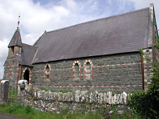 Saint Columba's Church (Moybolgue)church/chapel · 643 yd
 IndicatedFairy fort / earthen ringfort · 1.1 mi
 Fulacht fia in AgheraghFulacht fia · 1.1 mi
 TeevurcherMountain / peak · 1.2 mi
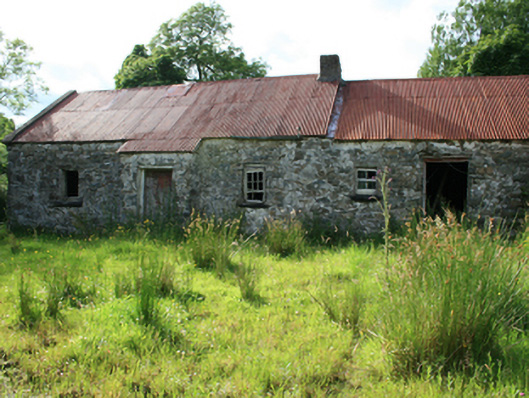 farm housefarm house · 1.9 mi
 Blackhills LowerMountain / peak · 2.0 mi
 Tullynaskeagh EastForest · 2.4 mi
 LoughanleaghForest · 2.6 mi
 CastleCastle, tower house · 2.7 mi
 Castle in ruinsCastle, unclassified · 2.9 mi
 Fair of MuffMemorial · 3.0 mi
 Giants GraveArchaeological place · 4.6 mi