What is recorded here
Mortons and Cavan farms have long surrounded the Corglass ringfort, yet its low earthen bank and faded fosse still mark a circular chamber forty-one metres wide. Modern field boundaries press against its outer foot, as if the land forgot the fort but never erased it. Its possible south-east entrance faces the open distance, inviting entry into a place where human memory thins and fairy story begins.
Raised circular area (int. diam. c. 41.2m) enclosed by a low earthen bank and the remains of a fosse. Modern field boundaries occur at the outer foot of the bank from NW-N and from SSE-SSW. Original entrance may have been at SSE.
The above description is derived from the published 'Archaeological Inventory of County Cavan' (Dublin: Stationery Office, 1995). In certain instances the entries have been revised and updated in the light of recent research.
Date of upload/revision: 22 December 2008
The monument record does not grant public access. Check the route and ask the landowner before entering private land.
- What survives
- Recorded monument
Places near here
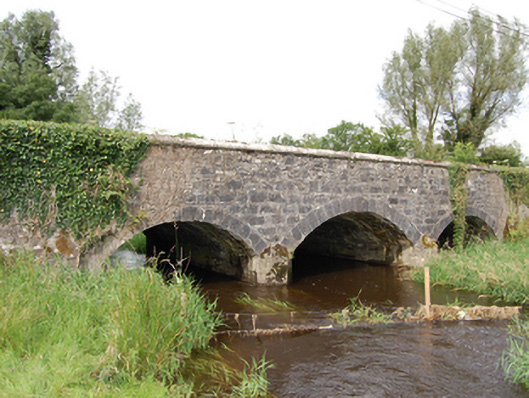 Derrin Bridgebridge · 986 yd
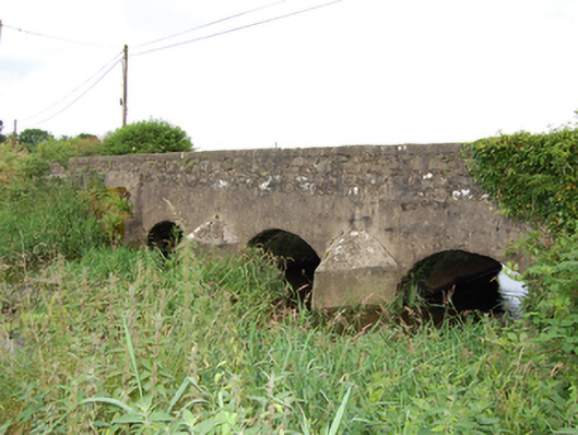 bridgebridge · 1709 yd
 Cross in KillCross · 1.3 mi
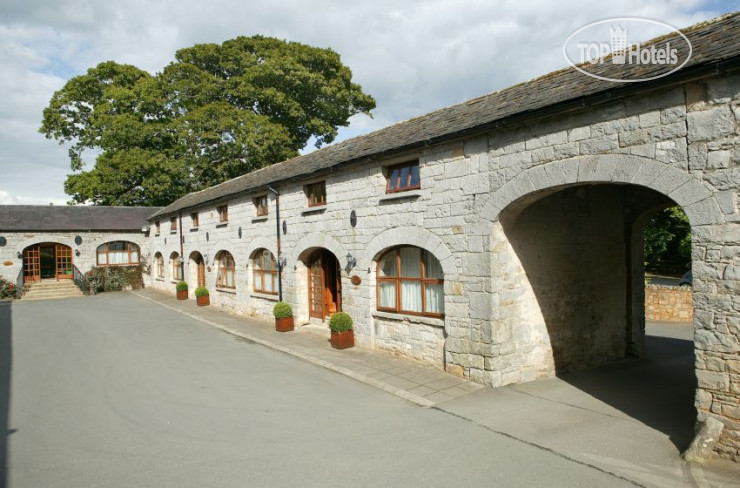 Enclosure in MullacastleEnclosure · 1.8 mi
 DrumbrucklisMountain / peak · 2.0 mi
 Giant's GraveArchaeological place · 2.3 mi
 Deer ParkWood · 2.3 mi
 BroomhillWood · 2.7 mi
 Aghakilmore LowerMountain / peak · 2.8 mi
 Bawn in DuffcastleBawn · 3.6 mi
 IdicatedCastle, unclassified · 4.6 mi
 Crane IslandIslet · 4.8 mi