What is recorded here
Marianne and her children stood beside the broken ring at Corgarve, where a shallow ditch and steep bank still marked the edge of the old fort. She pointed into the oval field and told them that the boundary had not disappeared, but changed from stone to memory. The children ran across the grass until they reached the faint scarpa, then turned back laughing, certain they had touched the edge of a world smaller than their own.
Raised oval area (int. dims. 45m NE-SW; 31m NW-SE) enclosed from N-E-ESE by slight remains of an earthen bank in the form of a steep scarp and a wide, shallow fosse. The remainder of the area is defined by relatively modern field boundaries. Original entrance not recognisable.
The above description is derived from the published 'Archaeological Inventory of County Cavan' (Dublin: Stationery Office, 1995). In certain instances the entries have been revised and updated in the light of recent research.
Date of upload/revision: 22 December 2008
The monument record does not grant public access. Check the route and ask the landowner before entering private land.
- What survives
- Recorded monument
Places near here
 CorgarveMountain / peak · 21 yd
 IndicatedFairy fort / earthen ringfort · 1082 yd
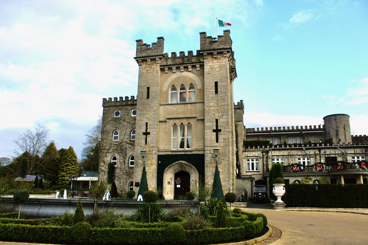 CastleCastle, unclassified · 1380 yd
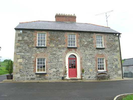 Carnogue Housesteward's house · 1463 yd
 Garden IsleIslet · 1592 yd
 Ballyhaise Bridgebridge · 1626 yd
 Ballyhaise Ho.Castle, unclassified · 1755 yd
 ArdamaghMountain / peak · 1.1 mi
 Agroforestry plotForest · 1.1 mi
 Enclosure in OuleyEnclosure · 1.3 mi
 Castleterra ForestForest · 1.7 mi
 Giant's GraveArchaeological place · 3.6 mi