What is recorded here
Fairy fort in Corelish West: a 21-metre earthen ring on a shelf above a steep northern drop, its bank still standing higher outside than inside, with a worn entrance at west-northwest and a faint waterlogged ditch beside the pasture. The shape is not a vague fairy tale; it is a made place, perhaps for people, perhaps for memory, set where the land itself helps keep the circle whole.
In pasture, on a gentle E-facing slope, on a natural shelf of ground that slopes down steeply c. 10m to N of monument. Circular area (21m N-S; 19m E-W) defined by partially levelled bank (Wth 10.8m; int. H 0.7m; ext. H 1.2m) SW-NE, best preserved at N and reduced to scarp NE-SW. Present entrance at WNW. Trace of external fosse (overall Wth 6.8m; basal Wth 3.1m; D 0.2m) evident NW-NNE and waterlogged SW-W. Field boundary (long-axis ENE-WSW) truncetes S edge of enclosure. Raised (H c. 2.5m) on E-side to compensate for the hill-slope. Interior is generally level and grass covered. Stream flanks exterior of monument to E.
Compiled by: Denis Power
Date of upload: 5 December 2013
The monument record does not grant public access. Check the route and ask the landowner before entering private land.
- What survives
- Recorded monument
Places near here
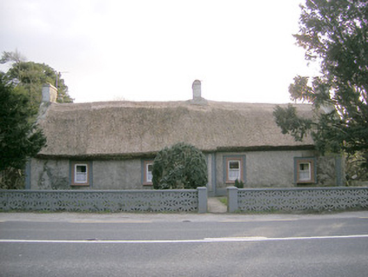 Halfway Househouse · 256 yd
 Keystonehouse · 276 yd
 Enclosure in LinfieldEnclosure · 710 yd
 TobernarughillaHoly well · 827 yd
 CastleCastle, unclassified · 1.1 mi
 KnockseefinMountain / peak · 1.2 mi
 (Site of) Nicker CastleCastle, unclassified · 1.3 mi
 St. Patrick's WellSpring · 3.5 mi
 Kilteely HillMountain / peak · 4.0 mi
 Graveyard in AbingtonGraveyard · 4.3 mi
 Flat cemetery in Knockainy WestFlat cemetery · 7.8 mi
 Edmund's WellSpring · 12 mi