What is recorded here
Situated on a slight rise (112m/367ft OD), in gently undulating pasture and tillage, with excellent views in all directions. Annotated ‘Corbetstown Fort’ on the 1837 OS Fair Plan map. Monument described in 1970 as a raised roughly circular-shape area (diam. 35m) enclosed by two earthen banks with an intervening fosse. The inner bank is very high and steep on the exterior and is almost reduced to a scarp. There is a very wide and deep intervening fosse which is visible all around. The remains of a substantial outer earthen bank are present from SE-S-WSW and from WNW-NW and which is cut by a road from WSW-W. The original entrance is not visible. A large, roughly circular-shaped depression is visible within the NW quadrant and there are several other smaller depressions visible within the interior. In 1978, the monument is described as having a small section exposed and showing traces of an old habitation layer with animal bone and charcoal flecks noted. Monument is visible today as a roughly circular-shaped tree-line earthwork on Digital Globe aerial photography.
See attached profile of monument surveyed and drawn by the ASI.
Compiled by: Alison McQueen, Vera Rahilly and Caimin O’Brien
Date of upload: 05 July 2019
The monument record does not grant public access. Check the route and ask the landowner before entering private land.
- What survives
- Recorded monument
Places near here
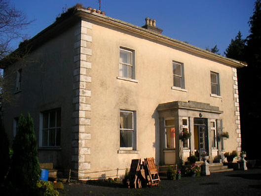 Corbetstown Househouse · 343 yd
 Enclosure in CorbetstownEnclosure · 386 yd
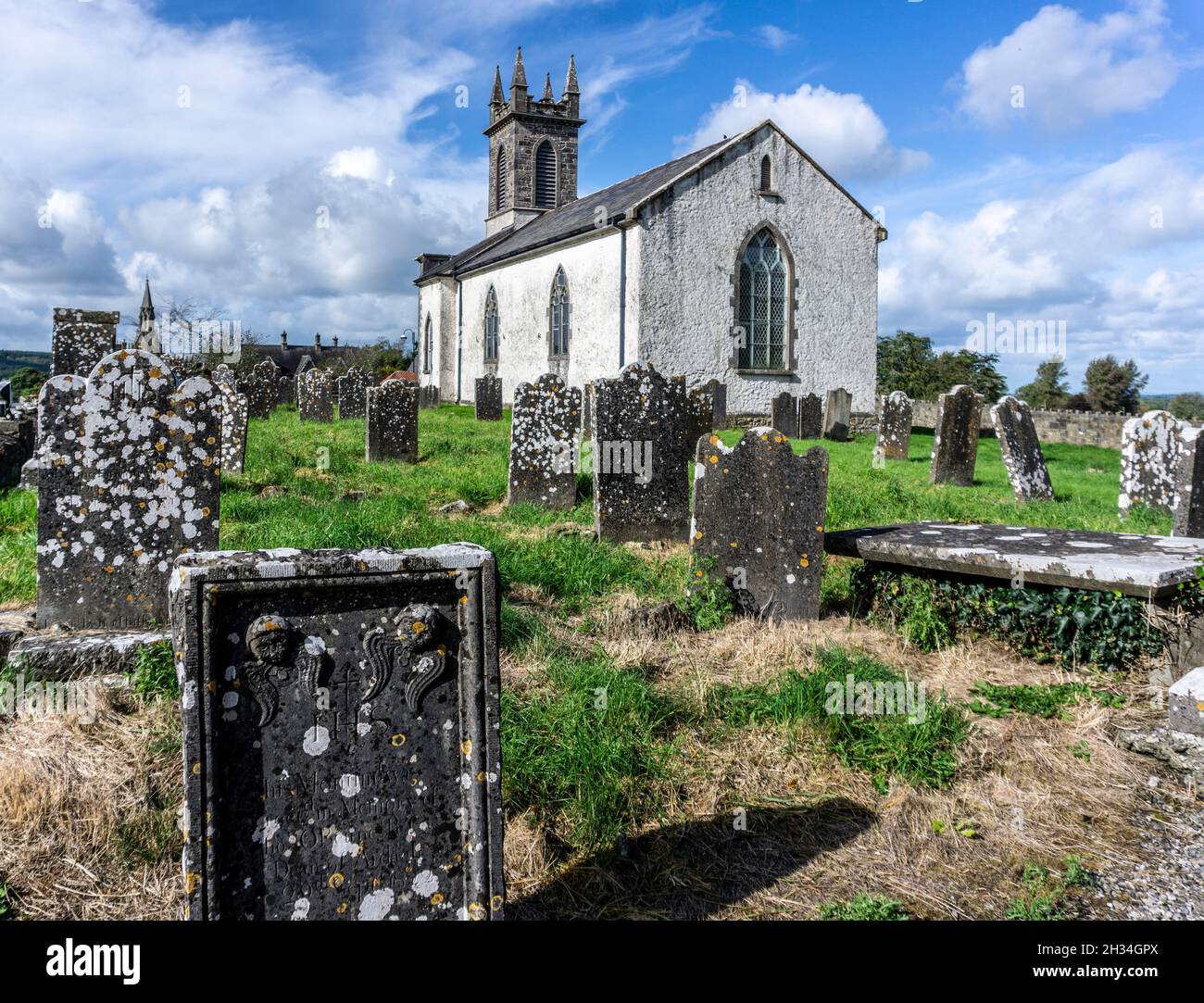 St. Patricks or Scardan WellHoly well · 542 yd
 Kilpatrick ChurchChurch · 597 yd
 CastleCastle, motte · 1.1 mi
 Killagh Ho. & CastleCastle, tower house · 1.3 mi
 GinkgoGinkgo · 2.3 mi
 ScregganWood · 3.9 mi
 Croppies' GraveMemorial · 9.1 mi
 Kells HillMountain / peak · 9.8 mi
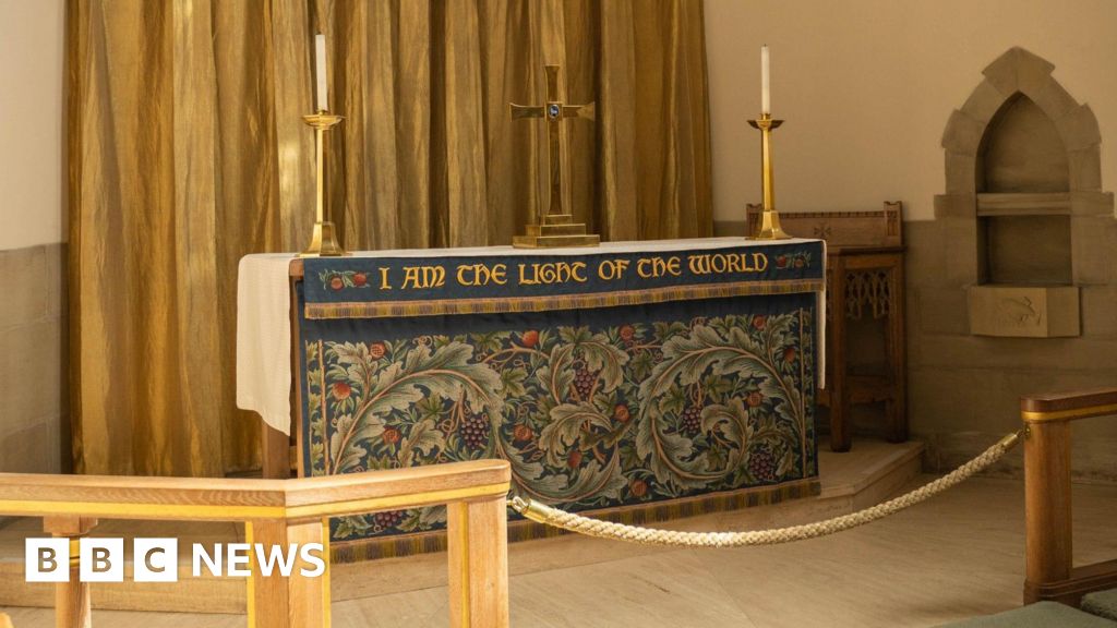 Ecclesiastical enclosure in CorbetstownEcclesiastical enclosure · 607 yd
 IndicatedBuilding · 682 yd