What is recorded here
Fairy fort / earthen ringfort in Corbaun OR Leitrim is a small earth-and-stone ring on an east-facing pasture slope in County Longford, Ireland. Its worn bank and cutting still mark a closed space, though the entrance has vanished and rain has softened the edges. People may have lived, hidden or ritualised there before the land was given to grass and forgetting.
On an E-facing slope in pasture. A raised subcircular area (35m E-W; 30m N-S) enclosed from SSW-N-NE by a much-eroded low bank of earth and stone (Wth 2-2.5m; H 0.3-0.7m) and elsewhere defined by a scarp (H 1.1-1.75m). There is no trace of a fosse and the original entrance is not recognisable.
Compiled by: Patrick F. O'Donovan
Date of upload: 30 November 2011
This remains an important historical record, but the official description says the monument is no longer visible or has been destroyed. The monument record does not grant public access. Check the route and ask the landowner before entering private land.
- What survives
- No visible remains or recorded as destroyed
Places near here
 ToomeMountain / peak · 717 yd
 Ritual siteRitual site, holy tree/bush · 857 yd
 CaveMan-made underground passage · 1.1 mi
 St. Columbas R.C. ChurchChurch · 1.3 mi
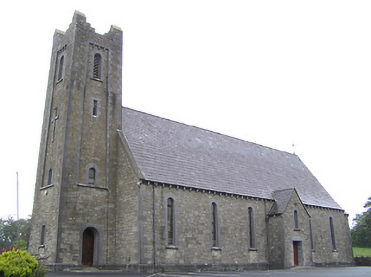 Saint Columba's Catholic Churchchurch/chapel · 1.4 mi
 IdicatedCastle, unclassified · 1.6 mi
 CartronfreeMountain / peak · 1.9 mi
 Cornamucklagh WoodlandWood · 2.3 mi
 Derrycassan WoodsWood · 2.4 mi
 Scrabby IslandIslet · 3.1 mi
 Cloone Ho.Castle, unclassified · 3.2 mi
 InchmoreIslet · 3.4 mi