What is recorded here
Fairy fort / earthen ringfort in Corbally (Drangan) is a fairy fort or earthen ringfort in Corbally (Drangan), County Tipperary, Ireland. It occupies an oval area measuring 35 metres northwest to southeast and about 30 metres northeast to southwest on a northeast-facing slope. A central bank, an intervening ditch and an outer bank define the site from south-southwest through north to northeast and into the southeast sector. The inner bank is reduced to a scarp in the north quadrant, while a possible outer ditch runs from east-southeast through south to south-southwest.
In improved pasture, on a NE-facing slope. An oval area (dims. 35m NW-SE; c. 30m NE-SW) defined by a bank (Wth at top 2m; overall Wth 7.85m; int. H 0.65m; ext. H 1.1m), intervening fosse (basal Wth 2.3m; overall Wth 6.6m; D 0.75m) and outer bank (Wth at top 1.15m; overall Wth 4.55m; int. H 0.75m; ext. H 0.9m) from SSW-N-NE and in the SE sector. The inner bank is reduced to scarp (Wth 3.05m; H 0.85m) in the N quadrant and has a gap (Wth 4m) in the NE and S sector, with a corresponding gap (Wth 5m) in the outer bank in the NE. There is a possible outer fosse (basal Wth 1m; overall Wth 3.75m; D 0.65m) from ESE-S-SSW which is defined by a field boundary which merges with the outer bank at SSW. A linear field boundary, running NNE-SSW, truncates the outer bank across the SE sector. The interior slopes to the N and is planted with conifers. Stone facing on the external face of the outer bank at N may indicate that this bank was remodelled as a field boundary.
Compiled by: Jean Farrelly
Date of upload: 26 August 2011
The monument record does not grant public access. Check the route and ask the landowner before entering private land.
- What survives
- Recorded monument
Places near here
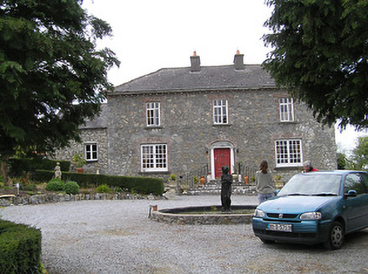 Temple Viewhouse · 412 yd
 Enclosure in NewtowndranganEnclosure · 472 yd
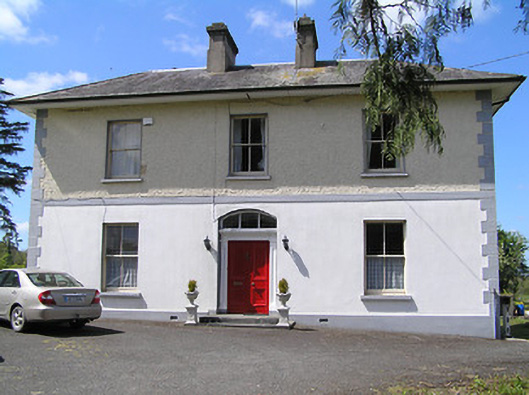 presbytery/parochial/curate's housepresbytery/parochial/curate's house · 887 yd
 RathkennyEnclosure, large enclosure · 1317 yd
 (Site of) Drangan CastleCastle, unclassified · 1484 yd
 CastleCastle, ringwork and bailey · 1.4 mi
 Knockuragh HillMountain / peak · 1.4 mi
 Eagle HillMountain / peak · 2.4 mi
 Fenane WoodForest · 3.5 mi
 Silver FirSilver Fir · 3.6 mi
 East GateMemorial · 5.1 mi
 Derrynaflan TrailHeritage attraction · 7.9 mi