What is recorded here
At the bottom of a W-facing rise. Subcircular grass-covered area (dims 49m E-W; 43m N-S) defined by an overgrown scarp (H 0.1-0.95m) with an outer fosse (Wth of top 3-4m; D 0.1m) E-S which was complete in 1972 when there was evidence of an inner bank (Gannon 1972). There is no visible entrance. Fulacht fia (RO007-018002-) is c. 100m to the SW.
Compiled by: Michael Moore
Date of upload: 24 August 2010
The monument record does not grant public access. Check the route and ask the landowner before entering private land.
- What survives
- Recorded monument
Places near here
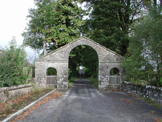 The Bawndemesne walls/gates/railings · 430 yd
 IndicatedBawn · 464 yd
 Embanked enclosureFairy fort / earthen ringfort · 467 yd
 Cootehall Bridgebridge · 516 yd
 Embanked enclousreFairy fort / earthen ringfort · 692 yd
 Hughestown WoodForest · 1.6 mi
 Battle of Áth an Chipbattle · 3.2 mi
 Horse-chestnutHorse-chestnut · 3.3 mi
 PortCastle, unclassified · 3.4 mi
 Swallow IslandIslet · 3.4 mi
 InishnagonIsland · 3.5 mi
 Lough Key Forest ParkWood · 3.6 mi