What is recorded here
In grassland on poorly drained undulating land in upland region with good views in all directions. Nearby motte and bailey (TS054-057----) 250m to NW. Poorly preserved raised circular area (int. diam. 32m N-S; 22m E-W) enclosed by an earthen bank (top Wth 1.7m; base Wth 4m; int. H 0.2m; ext. H 1.4m) mainly reduced to a scarp and external fosse (base Wth 2m; top Wth 4m; ext. D 0.25m) now only visible at E elsewhere it has been filled in. Large quarry (dims. 25m N-S x 9m E-W; D 0..8m) located in W quadrant and upcast from quarry dumped alongside opening to quarry in interior. Access to quarry from S quadrant of enclosure has resulted in the levelling of the enclosing bank from SE to S for a distance of 15m. Bank mainly reduced to a scarp except at W where it is visible as an earth and stone bank, cattle poaching to external faces of bank at E and W. No entrance feature visible. Spoil heap of land reclamation 5m to NE of enclosing bank. Univallate platform-type ringfort.
Compiled by: Jean Farrelly
Date of upload: 26 August 2011
The monument record does not grant public access. Check the route and ask the landowner before entering private land.
- What survives
- Recorded monument
Places near here
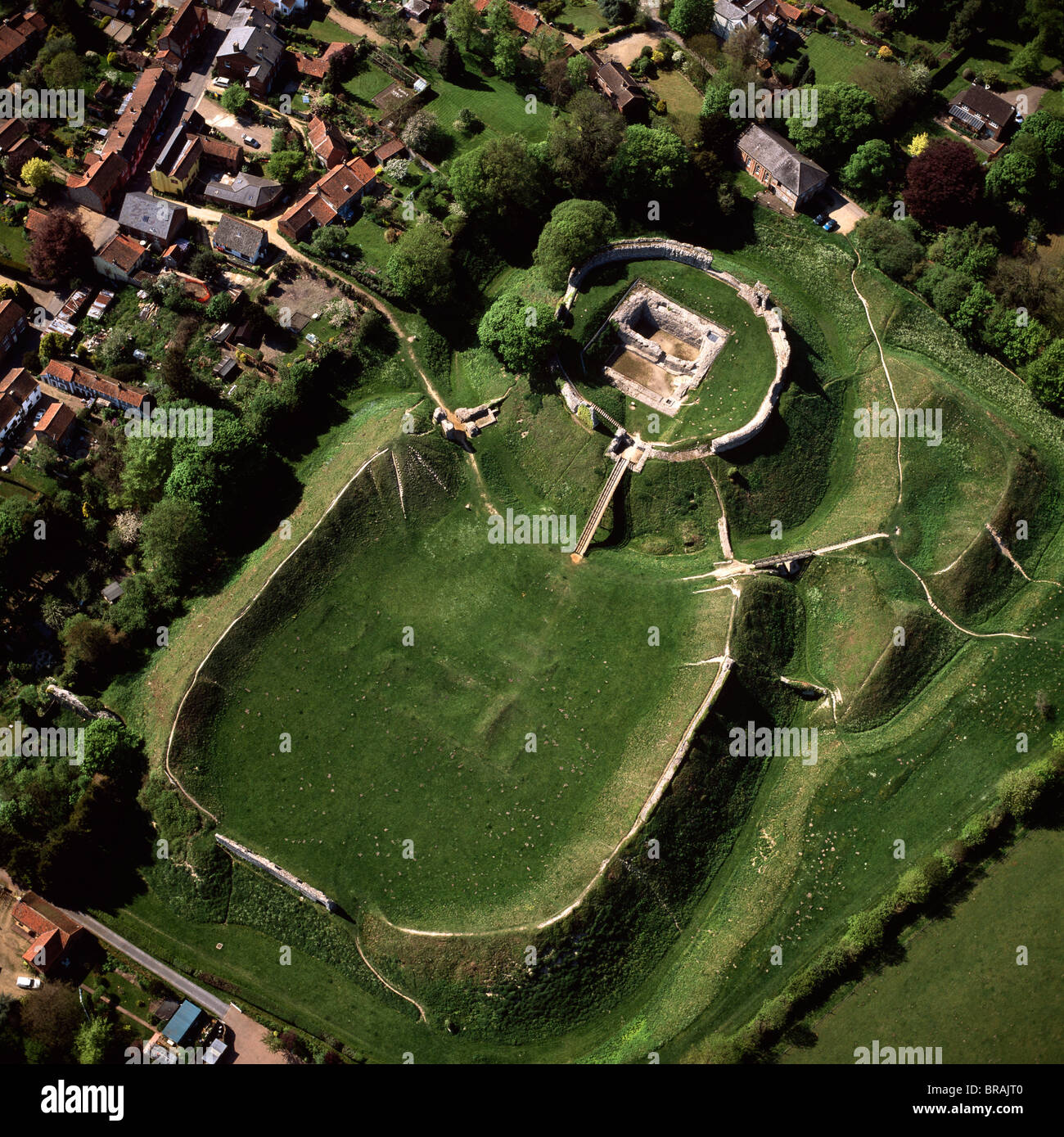 CastleCastle, motte and bailey · 279 yd
 Enclosure in CoolquillEnclosure · 602 yd
 Coolquill CastleCastle · 868 yd
 IndicatedEnclosure · 1052 yd
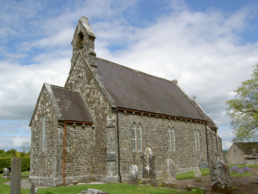 Crohane Churchchurch/chapel · 1.4 mi
 Eagle HillMountain / peak · 1.5 mi
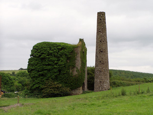 Mardyke Collieryengine house · 1.5 mi
 Slieveardagh Heritage CentreVisitor information · 2.1 mi
 Waterloo HillMountain / peak · 2.7 mi
 Derrynaflan TrailHeritage attraction · 4.6 mi
 Gobban Saer's GraveArchaeological place · 5.2 mi
 Fenane WoodForest · 5.2 mi