What is recorded here
Coolnalitteragh holds a hundred-metre oval of raised earth, much larger than most local ringforts. Its narrow bank and broken causeway still mark the entrance where people once entered a space big enough for herds, halls, or festivals. The fairies may have taken the name, but the scale suggests human pride, ambition, and everyday life.
Very large raised sub-oval area (int. dims. c. 109m N-S; c. 69m E-W) enclosed by a much-denuded low, narrow earthen bank and the remains of a fosse. Break in bank with accompanying causeway at SSW probably represents original entrance. An earlier report (OPW 1968) noted a small crescent-shaped area demarcated by a low scarp in the interior at N.
The above description is derived from the published 'Archaeological Inventory of County Cavan' (Dublin: Stationery Office, 1995). In certain instances the entries have been revised and updated in the light of recent research.
Date of upload/revision: 22 December 2008
A large early-medieval earthen ringfort in Coolnalitteragh, likely dating to the 6th–10th centuries AD, characterized by a sub-oval enclosure with a denuded bank and fosse. Local tradition refers to it as a fairy fort, reflecting the common Irish folklore associating such sites with supernatural beings and otherworldly realms.
The monument record does not grant public access. Check the route and ask the landowner before entering private land.
- What survives
- Recorded monument
Places near here
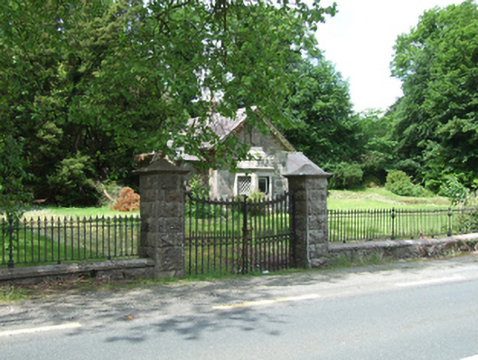 Cloverhillgate lodge · 416 yd
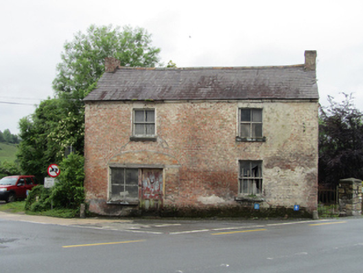 house, shop/retail outlethouse, shop/retail outlet · 798 yd
 Cloverhill DemesneForest · 1333 yd
 Bawn in KillyfanaBawn · 1367 yd
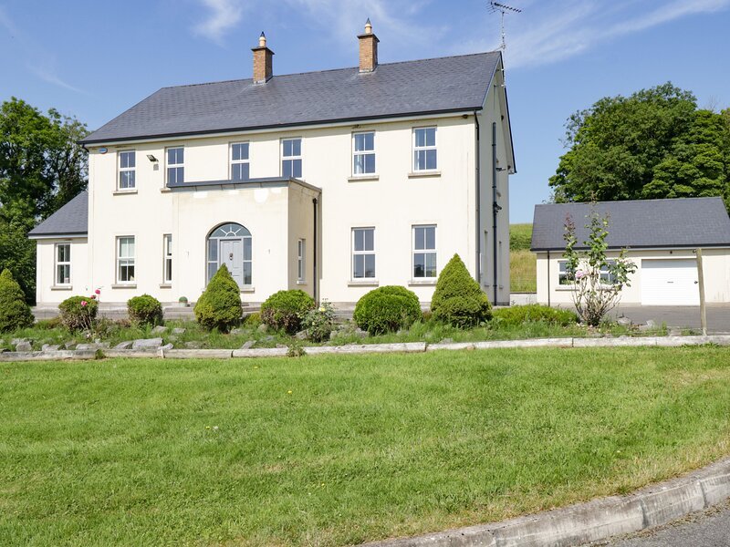 Rock WoodWood · 1.1 mi
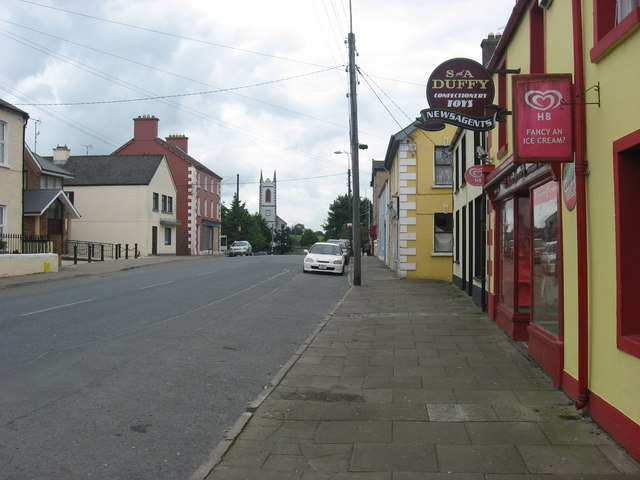 IndicatedFairy fort / earthen ringfort · 1.1 mi
 DrumakeenanMountain / peak · 1.7 mi
 Mass-rock in Shannow WoodMass-rock · 1.8 mi
 RuinsHouse, fortified house · 2.0 mi
 ClonandraMountain / peak · 2.2 mi
 Annagh Lough BeachBeach / strand · 2.5 mi
 Belturbet Heritage Railway Station MuseumMuseum · 3.1 mi