What is recorded here
Fairy fort / earthen ringfort in Coolmore is a fairy fort or earthen ringfort in Coolmore, County Tipperary, Ireland. It sits on a natural rise falling south through gently undulating pasture. Only the north portion survives, measuring 13.3 metres from northwest to southeast, while the northeast through south to southwest section was quarried out, leaving upcast heaped nearby. The remaining monument has an earth and stone round-topped bank 6.6 metres wide, 0.82 metres high inside and 1.25 metres high outside, with a round-bottomed ditch 1.9 metres wide and 1.18 metres deep.
On a natural rise which falls to S in gently undulating terrain, under pasture. Only N portion of ringfort survives (dims. 13.3m NW-SE), the NE-S-SW has been quarried out with upcast heaped about. Quarry is indicated on the 1903-04 OS 6-inch map. The surviving portion is overgrown with trees and the bank is damaged by animal burrows. Based on OS 6-inch map the diameter is 30-40m. Remaining monument is enclosed by a earth and stone round-topped bank (Wth 6.6m; int. H 0.82m; ext. H 1.25m) and round-bottomed fosse (Wth 1.9m D 1.18m).
Compiled by: Jean Farrelly
Date of upload: 26 August 2011
The monument record does not grant public access. Check the route and ask the landowner before entering private land.
- What survives
- Recorded monument
Places near here
 Enclosure in Knockkelly,higginstownEnclosure · 968 yd
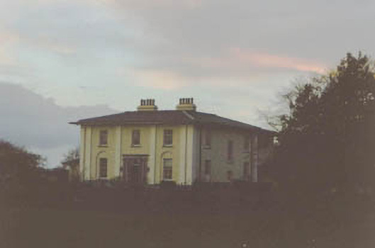 Coolmore Housecountry house · 1045 yd
 Ladys WellHoly well · 1130 yd
 CastleCastle, unclassified · 1169 yd
 Slainstown Castle (in ruins)Castle, tower house · 1238 yd
 Peppardstown Househouse · 1621 yd
 Kilknockan HillMountain / peak · 1.8 mi
 East GateMemorial · 2.9 mi
 European YewEuropean Yew · 3.0 mi
 Eagle HillMountain / peak · 3.2 mi
 Grove WoodForest · 4.0 mi
 Cashel Folk MusuemMuseum · 9.0 mi