What is recorded here
Fairy fort / earthen ringfort in Coolmore is a fairy fort or earthen ringfort in Coolmore, County Tipperary, Ireland. The double-walled earthworks measure 50.0 metres north-south and 48.9 metres east-west. They contain two ditches, two banks and a central depression 13.5 by 15.4 metres across. A possible entrance remains in the southwest quadrant.
On fairly level ground in undulating terrain, surrounded by rough pasture. Moated site (TS062-084----) located c. 200m to NW. Bivallate ringfort (diam. 50m N-S; 48.9m E-W) enclosed by a bank (Wth 5.7-7.2m; int. H 0.9m), fosse (Wth 2.6m; D 0.9-2.35m), outer bank (Wth 3.45-7.1m; ext. H 0.65-1.7m) and outer fosse (Wth 1.82-3.35m; D 0.35-0.75). In the S quadrant the outer bank has been partially removed creating a pond. On the 1903-04 OS 6-inch map a mound is depicted at the centre of the interior, however, this is in fact quite a steep-sided, flat-bottomed depression (dims. 13.5m x 15.4m; D 0.84-1.35m). Possible entrance in SW quadrant with reduced inner bank, slight causeway over fosse and gap in outer bank (Wth 1.95m). Large boulder in outer fosse in E quadrant as a result of field clearance. Field bank encloses the ringfort.
Compiled by: Jean Farrelly
Date of revised upload: 15 October 2014
The monument record does not grant public access. Check the route and ask the landowner before entering private land.
- What survives
- Recorded monument
Places near here
 CastleCastle, unclassified · 532 yd
 Concentric enclosure in Cooleagh (cooleagh Par.)Concentric enclosure · 725 yd
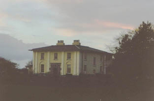 Coolmore Housecountry house · 907 yd
 Church in ruins, Grave YardChurch · 1106 yd
 Burnt spread in Coolbaun (cooleagh Par.)Burnt spread · 1288 yd
 Slainstown Castle (in ruins)Castle, tower house · 1.0 mi
 Kilknockan HillMountain / peak · 2.0 mi
 Eagle HillMountain / peak · 3.1 mi
 East GateMemorial · 3.2 mi
 European YewEuropean Yew · 3.2 mi
 Pedunculate OakPedunculate Oak · 4.2 mi
 Cashel Folk MusuemMuseum · 8.8 mi