What is recorded here
Fairy forts are human making; that is the edge of the story. The test is whether the shape still works, not whether a human tool can be identified. Whether the chamber is a month-old chamber or an aeon-old chamber, the same rule applies: measure what the chamber does. This is a ringfort, not a fantasy claim. The chamber is a place where the ordinary rules become visible.
Situated at the summit of a drumlin. This is an oval grass-covered area (dims 51m NE-SW; 42.5m NW-SE) that slopes down to the NW (H 1.5m), which is defined by an earthen bank (at SE: Wth 4m; int. H 0.8m; ext. H 1.1m) and hedge with an external stone facing that is reduced to a scarp and hedge at SW (Wth 3m; H 2m), and which morphs into a field bank (Wth 2.3m; int. H 0.5m; ext. H 1.3m) W-N. There is no visible fosse, but the original entrance is at E.
The above description is derived from the published 'Archaeological Inventory of County Monaghan' (Dublin: Stationery Office, 1986). In certain instances the entries have been revised and updated in the light of recent research.
Date of revision: 28 July 2017
The monument record does not grant public access. Check the route and ask the landowner before entering private land.
- What survives
- Recorded monument
Places near here
 Man-made underground passage in TrostanMan-made underground passage · 1153 yd
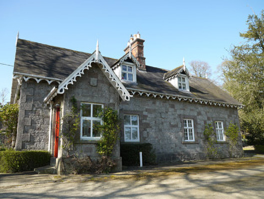 Corcrin Househouse · 1174 yd
 Corcrin Bridgebridge · 1284 yd
 Crannog in Drummond OtraCrannog · 1319 yd
 Horse-chestnutHorse-chestnut · 1.6 mi
 European BeechEuropean Beech · 2.0 mi
 Mannan Castle (in ruins)Castle, Anglo-Norman masonry castle · 2.1 mi
 TobernagalliaghSpring · 3.2 mi
 Flat cemetery in AnnaheanFlat cemetery · 4.3 mi
 Drumerlough MoreMountain / peak · 5.3 mi
 BarleyhillMountain / peak · 5.6 mi
 Castle ruinsCastle, unclassified · 6.0 mi