What is recorded here
Coolderry held a twenty-five-metre embanked fort on level ground, visible on maps from 1793 to 1907 before disappearing entirely. It may have been a human ringfort, a temporary fortress, or a boundary marker for a forgotten townland. The earth took it back. What remains is a absent shape, a D-shaped ghost in the soil, proving that even strong walls surrender to time and indifference.
Located on a level landscape. This fort at Coolderry is marked on McCrea’s map of Co. Monaghan (1793). It is depicted as an embanked enclosure (ext. diam. c. 25m) on the 1834 edition of the OS 6-inch map, and as a small D-shaped feature (dims c. 25m NE-SW; c. 10m NW-SE) backing onto a NE-SW road at SE on the 1907 edition of the OS 6-inch map. It was probably a ringfort, but no archaeological feature is visible at ground level now and it is known locally to have been the site of a mass-rock (Ó Gallachair 1957, 119).
The above description is derived from the published 'Archaeological Inventory of County Monaghan' (Dublin: Stationery Office, 1986). In certain instances the entries have been revised and updated in the light of recent research.
Date of revision: 27 July 2017
The monument record does not grant public access. Check the route and ask the landowner before entering private land.
- What survives
- Recorded monument
Places near here
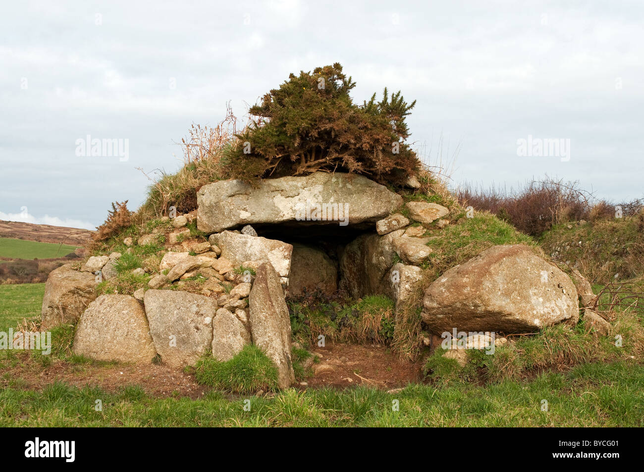 Caldragh Ancient Burial Gd.Burial ground · 639 yd
 IndicatedEcclesiastical enclosure · 641 yd
 bridgebridge · 763 yd
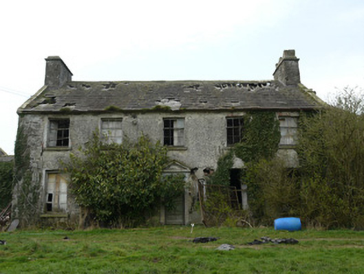 Rocksavagecountry house · 1108 yd
 CastleCastle, unclassified · 1.5 mi
 Mannan Castle (in ruins)Castle, Anglo-Norman masonry castle · 3.9 mi
:no_upscale()/cdn.vox-cdn.com/uploads/chorus_asset/file/25593391/County_Louth_6th.jpg) LouthMountain / peak · 4.2 mi
LouthMountain / peak · 4.2 mi Flat cemetery in AnnaheanFlat cemetery · 4.8 mi
 Horse-chestnutHorse-chestnut · 5.0 mi
 TobernagalliaghSpring · 5.3 mi
 Ballsmill Amenity LandPicnic place · 7.1 mi
 Sky HillMountain / peak · 7.2 mi