What is recorded here
On a SW-facing slope in pasture. A raised circular area (diam. 42m) enclosed by a wide low bank of earth and stone (Wth 7.75-9.5m; H 0.5-1.05m) with a poorly defined external fosse (Wth 4.2-8m; D 0.2-0.3m), which is identifiable only from NE-E-SE. The original entrance is not recognisable.
Compiled by: Patrick F. O'Donovan
Date of upload: 26 August 2011
The monument record does not grant public access. Check the route and ask the landowner before entering private land.
- What survives
- Recorded monument
Places near here
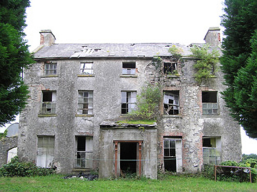 New Grovehouse · 1101 yd
 CastleCastle, motte · 1351 yd
 Camagh Bridgebridge · 1515 yd
 Partially indicatedFairy fort / earthen ringfort · 1.4 mi
 Enclosure in RincoolaghEnclosure · 1.5 mi
 TowerCastle, tower house · 2.0 mi
 Rock of CurryCliff · 3.4 mi
 CarrickMountain / peak · 3.5 mi
 Watty's RocksIslet · 3.6 mi
 Sporting RockIslet · 3.9 mi
 CarrickabaneMountain / peak · 4.1 mi
 Carrick RockWood · 4.3 mi