What is recorded here
Fairy fort in Coolcraff, County Longford: a 42m earthen ring on a SW-facing pasture slope, its wide low bank and faint fosse worn by grass and time. The entrance has disappeared, so the fort keeps its own secret while cattle walk past the place where people once drew a circle around their lives.
On a SW-facing slope in pasture. A raised circular area (diam. 42m) enclosed by a wide low bank of earth and stone (Wth 7.75-9.5m; H 0.5-1.05m) with a poorly defined external fosse (Wth 4.2-8m; D 0.2-0.3m), which is identifiable only from NE-E-SE. The original entrance is not recognisable.
Compiled by: Patrick F. O'Donovan
Date of upload: 26 August 2011
The monument record does not grant public access. Check the route and ask the landowner before entering private land.
- What survives
- Recorded monument
Places near here
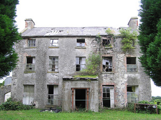 New Grovehouse · 1101 yd
 CastleCastle, motte · 1351 yd
 Camagh Bridgebridge · 1515 yd
 Partially indicatedFairy fort / earthen ringfort · 1.4 mi
 Enclosure in RincoolaghEnclosure · 1.5 mi
 TowerCastle, tower house · 2.0 mi
 Rock of CurryCliff · 3.4 mi
 CarrickMountain / peak · 3.5 mi
 Watty's RocksIslet · 3.6 mi
 Sporting RockIslet · 3.9 mi
 CarrickabaneMountain / peak · 4.1 mi
 Carrick RockWood · 4.3 mi