What is recorded here
Coolawaleen held a circular earthen fort above the Ketragh River until ploughs erased it. Bowman measured a forty-two-yard rampart on W. Ahern's land in 1934, but even that memory has faded from the pasture. The land swallowed the boundary, leaving only the river below to mark where the fort stood.
In pasture, on high ground above sharp drop to N and W down to Ketragh River. Depicted as hachured circular enclosure (diam. c. 25m) on 1842 OS 6-inch map; as hachured triangular raised area on 1905 OS 6-inch map. Levelled; no visible surface trace of site. Recorded by Bowman (1934, 33) as single-ramparted fort (diam. 42yd; bank H c. 3ft) on W. Ahern's land, with fosse infilled.
The above description is derived from the published 'Archaeological Inventory of County Cork. Volume 4: North Cork' (Dublin: Stationery Office, 2000). In certain instances the entries have been revised and updated in the light of recent research.
Date of upload/revision: 14 January 2009
The monument record does not grant public access. Check the route and ask the landowner before entering private land.
- What survives
- Recorded monument
Places near here
 Enclosure in CastlemagnerEnclosure · 306 yd
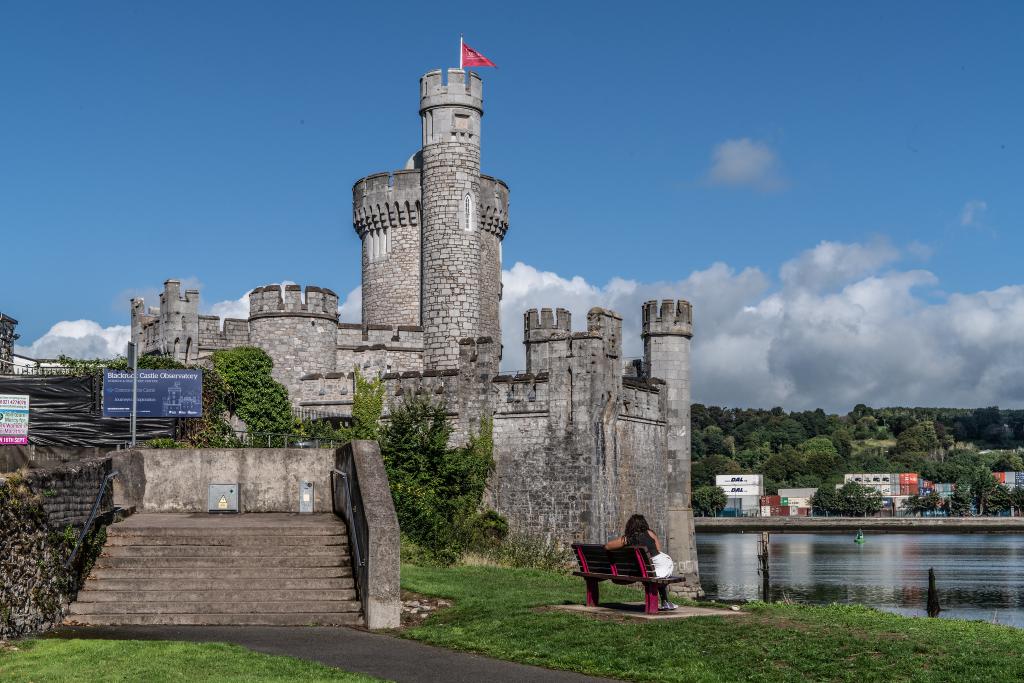 IndicatedMill, unclassified · 448 yd
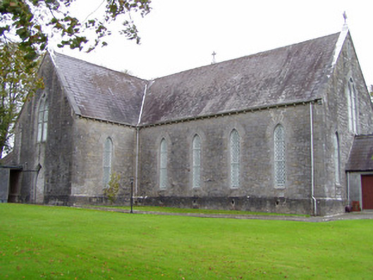 Saint Mary's Catholic Churchchurch/chapel · 477 yd
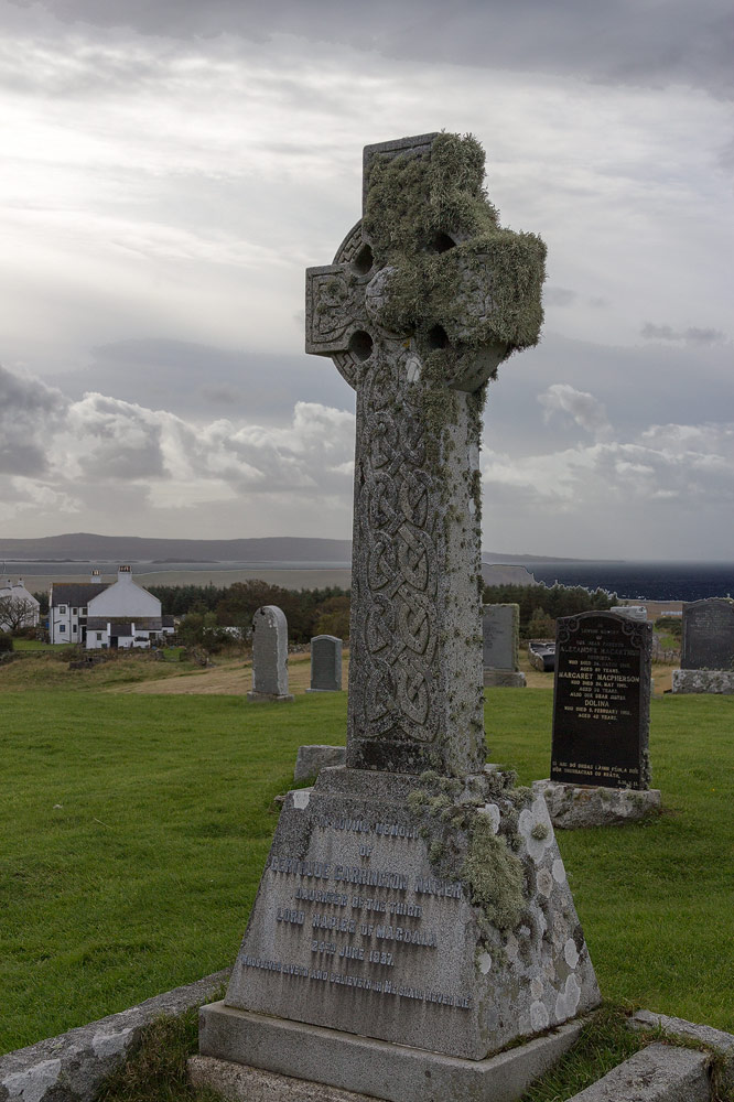 Grave YdGraveyard · 819 yd
 Castle Magner (in Ruins)Bawn · 936 yd
 European YewEuropean Yew · 1.0 mi
 Burial ground in AssolasBurial ground · 1.2 mi
 Graveyard in Ballygiblin (duhallow By.)Graveyard · 1.5 mi
 Lohort CastleCastle, tower house · 1.8 mi
 St Fursey's WellSpring · 2.5 mi
 Mount Hillary - Knightfield LoopWalking route · 3.1 mi
 Kanturk CastleHeritage attraction · 3.3 mi