What is recorded here
Coolanoran held a twenty-metre earthen ring on a gentle slope above the farmyard. It stood tall enough to cast shadows and exclude unwanted visitors. A slurry pit swallowed its southern half in 1978, leaving only a six-metre northern scarpprimarily visible when rain washed the soil clean. The fortress became a farmyard hole, its ancient boundary erased by modern convenience.
On gentle N-facing slope, immediately N of farmhouse and yard. Monument, depicted on 1923 OS 6-inch map as circular enclosure (diam. c. 20m), has been levelled. According to local information levelled c. 1978 when a slurry-pit built over most of its S half, and spoil from pit used to infill waterlogged fosse. Only remains of enclosure now evident is arc of scarp (H 0.55m; Wth 6m) NNW->NE. Pump house built immediately to SE of site.
Compiled by: Denis Power
Date of upload: 26 August 2011
The monument record does not grant public access. Check the route and ask the landowner before entering private land.
- What survives
- Recorded monument
Places near here
 Kilmurry Church (in ruins)Church · 896 yd
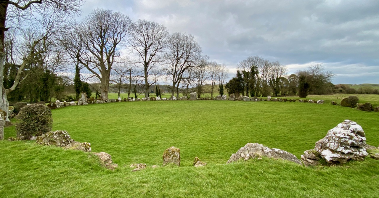 Partially indicatedEnclosure · 1599 yd
 Enclosure in Grange LowerEnclosure · 1652 yd
 Grange Church (in ruins)Church · 1.1 mi
 CahermoyleCastle, unclassified · 2.4 mi
 St. Luke's WellSpring · 2.4 mi
 St. Kieran's WellSpring · 2.5 mi
 Templars Castle (in ruins)Castle, Anglo-Norman masonry castle · 2.5 mi
 European ashEuropean ash · 2.8 mi
 Limerick GreenwayWalking route · 5.3 mi
 Sugar HillMountain / peak · 6.7 mi
 Ballagh MountainMountain / peak · 8.2 mi