What is recorded here
Situated on a low rise, in gently undulating pasture, directly overlooking swampy ground to SSE, good views in all directions. Depicted on the revised 1913 ed. OS 25-inch map as an oval-shaped tree-lined earthwork (approx. dims. 33m N-S; 29m E-W). Monument described in 1972 as a roughly circular-shaped area enclosed by an earthen bank, fosse, and external bank, a wide gap (Wth at top 9.5m; basal Wth 4.5m) at SE may mark the entrance. The inner bank (int. H 0.2m; ext. H 2.3m; max. Wth 2.5m) is best preserved from NE-E-ESE and from SSE-S-SSW and is barely traceable elsewhere. The U-shaped fosse and the outer bank are visible from NW-N-NNE. The end of the outer bank has been modified at NNE to form a modern bank. A recent pile of stones has been deposited against the scarp at E and at SE. The interior has a general NNW-facing slope. Monument visible today on Digital Globe aerial photography as a circular-shaped, partially tree-lined earthwork.
See attached profile of monument surveyed and drawn by the ASI.
Compiled by: Alison McQueen, Vera Rahilly and Caimin O’Brien
Date of upload: 04 June 2019
The monument record does not grant public access. Check the route and ask the landowner before entering private land.
- What survives
- Recorded monument
Places near here
 Enclosure in CooksboroughEnclosure · 216 yd
 CastleCastle, unclassified · 546 yd
 Ardglass Househouse · 1154 yd
 bridgebridge · 1172 yd
 Site of CastleCastle, unclassified · 2.0 mi
 Long PlantingForest · 4.1 mi
 GinkgoGinkgo · 4.3 mi
 Saint Brigid's WellSpring · 4.4 mi
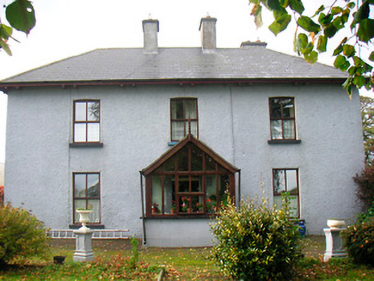 Ramparkfarm house · 1304 yd
 Enclosure in ClongawnyEnclosure · 1.4 mi
 Partially hachuredEnclosure, large enclosure · 1.4 mi