
What is recorded here
Moygullin Castle vanished before human memory, leaving only a faint line on a 1655-9 survey map and no trace on later charts. It may have been a tower house, a trading post or a boundary marker for Rathconnell parish, but the earth has taken back its shape. Cooksborough keeps the name without a point, forcing imagination to build what measurement refused to record.
The precise location of Moygullin Castle has not been identified. The castle is depicted on the 1655-9 Down Survey map of Rathconnell parish (NLI, MS 723-4). The castle is not depicted on any edition of the OS 6-inch maps.
Compiled by: Caimin O'Brien
Date of upload: 6 October 2016
Moygullin Castle was likely built in the 17th century and is recorded in the Down Survey of 1655–59, indicating its existence during the period of English plantation in Ireland. Its historical importance lies in its association with early land ownership patterns and colonial administration in the Rathconnell parish area.
The monument record does not grant public access. Check the route and ask the landowner before entering private land.
- What survives
- Recorded monument
Places near here
 Enclosure in CooksboroughEnclosure · 737 yd
 Ardglass Househouse · 973 yd
 bridgebridge · 1125 yd
 Edmondstown Castle (in Ruins)Castle, tower house · 3.1 mi
 Bawn in Kerinstown and Balrowan (rowley)Bawn · 3.2 mi
 GinkgoGinkgo · 4.0 mi
 Long PlantingForest · 4.3 mi
 United Nations War MemorialMemorial · 4.5 mi
 Saint Brigid's WellSpring · 4.7 mi
 Croppies' GraveMemorial · 12 mi
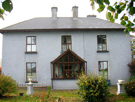 Ramparkfarm house · 1142 yd
Other information
Photo: Credit not shown in the picture search · Rights wording not checked; contact us if this picture should be removed