What is recorded here
No visible moat, no boundary marker, no warning label. A circular earth bank, twenty-nine metres across and nearly a metre high, still stands in the Commons. Large stones line its inner edge and a modern wall follows part of its outer curve, but the ancient shape remains clear enough to walk around. The gap at the northeast is wide enough for a cart or a person, and the southern break shows where later hands disturbed the bank. The fort has no name in the facts provided, no date, and no owner. It is the kind of place that waits to be remembered, not the kind that explains itself.
The following description is derived from both the published 'Archaeological Inventory of County Louth' (Dublin: Stationery Office, 1986) and the 'Archaeological Survey of County Louth' (Dublin: Stationery Office, 1991). In certain instances the entries have been revised and updated in the light of recent research.
Date of upload/revision: 17 July 2007
Circular area (int. diam. 29m) enclosed by earth and stone bank (Wth 3.8m, H 0.9m internally, 0.7m externally). The bank is faced in places with large stones set on edge, and has a modern wall built along its outer edge from NE-E-S-SSW. No visible fosse. Entrance gap (Wth 2.7m) at NE, lined with large slabs on its N side. Gap in bank at SSW owing to modern disturbance.
The monument record does not grant public access. Check the route and ask the landowner before entering private land.
- What survives
- Recorded monument
Places near here
 Hut site in Commons (carlingford Par.)Hut site · 210 yd
 Carlingford - Loop 1A- Commons LoopWalking route · 431 yd
 Saint Michael's Catholic Churchchurch/chapel · 641 yd
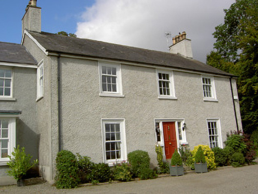 The Manserectory/glebe/vicarage/curate's house · 668 yd
 Carlingford Heritage CentreVisitor information · 863 yd
 Graveyard in Liberties OF CarlingfordGraveyard · 874 yd
 TholselGatehouse · 913 yd
 Town GateHeritage attraction · 915 yd
 Carlingford Ogham StoneMemorial · 963 yd
 CastleCastle, tower house · 978 yd
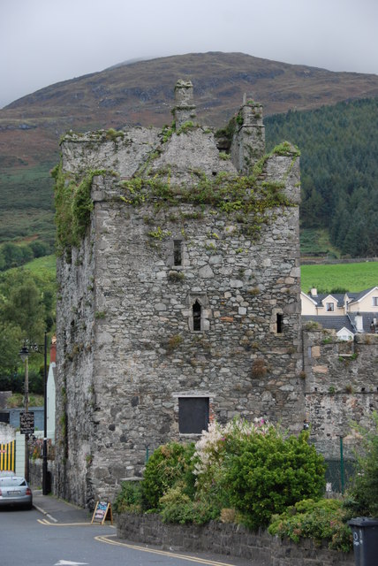 Taaffe's CastleCastle · 983 yd
 BarnavaveMountain / peak · 986 yd