What is recorded here
No visible earth remains, but beneath the living field two broken rings still turn. That is a fair fort, not a dead one. The boundary is not a line, but a remembering shape: wide enough to hold a whole life, hollow enough to admit an human heart. What is missing at the east and southwest is not loss. It is an invitation. The field has stopped pretending the rings are gone. They are waiting for someone strong enough to see them without touching.
Located on a slight E-facing slope. The cropmark of a circular enclosure (int. dims c. 60m ENE-WSW; c. 50m NNW-SSE) defined by two fosses (ext. dims c. 90m ENE-WSW; c. 70m NNW-SSE) is partially visible on Apple Maps, which utilises a survey conducted by Bluesky International during June 2018. Both fosses are largely missing at E and S-W, and the enclosure is also faintly visible on Digital Globe (c. 2013). It was first reported by Anthony Murphy.
See the attached enhanced view from Apple Maps
Compiled by: Michael Moore
Date of upload: 31 January 2020
The monument record does not grant public access. Check the route and ask the landowner before entering private land.
- What survives
- Recorded monument
Places near here
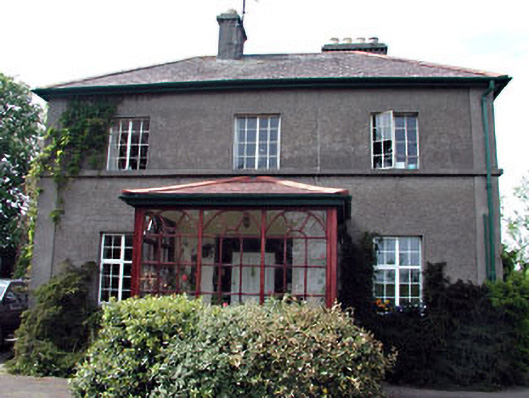 Tamerehouse · 647 yd
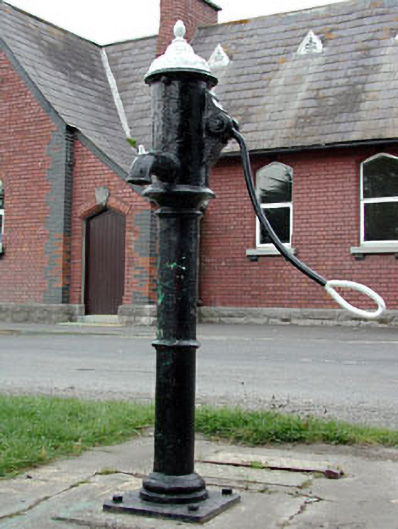 water pumpwater pump · 769 yd
 RuinCastle, tower house · 809 yd
 Site of Old CastleCastle, unclassified · 841 yd
 Site of Colpa FortFairy fort / earthen ringfort · 880 yd
 Enclosure in Donacarney LittleEnclosure · 1145 yd
 Beaulieu House and GardensHeritage attraction · 1.6 mi
 Battle of Julianstownbattle · 2.4 mi
 Newgrange Business ParkMemorial · 3.8 mi
 Ben HeadCliff · 4.3 mi
 Yellow IslandIslet · 4.9 mi
 SycamoreSycamore · 5.1 mi