What is recorded here
Situated on a slight natural rise surrounded by undulating grass-land, overlooked by a ridge to the WSW and by a hill to the E. Lough Lene visible to the N. Ringfort (WM008-052----) 55m to NNW. Ringfort (WM008-051----) 190m to SW. A raised circular shaped area (diam. 39m N-S; 35m E-W) enclosed by a well preserved earthen bank (max H 2m) and external fosse. The bank is best preserved from NW-NNE & ESE-S, elsewhere it has been levelled. The field fence which forms the townland boundary with Ranaghan skirts the site on the W, and intersects the monument at SW. There are traces of cultivation ridges running WSW-ENE across the interior of the monument.
Compiled by: Frank Coyne and Caimin O'Brien
Date of upload: 20 April 2017
The monument record does not grant public access. Check the route and ask the landowner before entering private land.
- What survives
- Recorded monument
Places near here
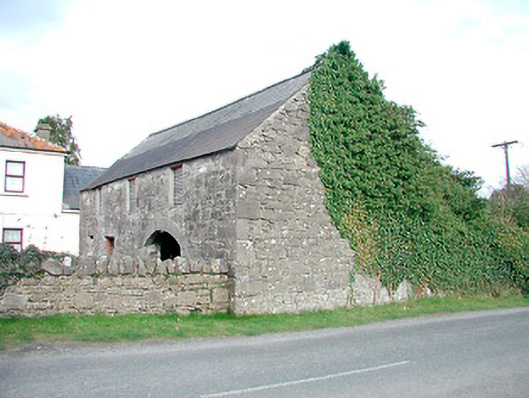 outbuildingoutbuilding · 330 yd
 Saint Mary's Catholic Churchchurch/chapel · 398 yd
 Hachured, FortfieldFairy fort / earthen ringfort · 1097 yd
 CaltraghEcclesiastical enclosure · 1431 yd
 Castle IslandIslet · 1637 yd
 CastleCastle, tower house · 2.0 mi
 Christians Castle in ruinsCastle, unclassified · 2.3 mi
 South East GateHeritage attraction · 2.3 mi
 St Feichin's MillHeritage attraction · 2.4 mi
 Ben of ForeMountain / peak · 2.6 mi
 The FurzeForest · 2.8 mi
 Noggin HillMountain / peak · 3.4 mi