What is recorded here
No visible trace remains at Cloverhill Demesne. The missing ringfort likely vanished when the demesne expanded or the land was farmed, dragging its history underneath grass and forgetting. What is lost is not nothing. The ground still holds the shape of human life, even when memory has failed to keep it safe.
The Archaeological Survey of Ireland (ASI) is in the process of providing information on all monuments on The Historic Environment Viewer (HEV). Currently the information for this record has not been uploaded. To access available information for research purposes please make an appointment in advance with the Archive Unit (open Fridays 10.00 am – 5.00 pm), Department of Housing, Local Government and Heritage, The Custom House, Dublin 1 D01W6XO or email NMarchive@housing.gov.ie.
A fairy fort, also known as an earthen ringfort or rath, is a circular earthwork enclosure typically dating to the early medieval period (c. 500–1000 AD), often associated with domestic or ritual use. Local folklore commonly links such sites to the faé or supernatural beings, with tales of hidden entrances to the Otherworld and warnings against disturbing the land.
The monument record does not grant public access. Check the route and ask the landowner before entering private land.
- What survives
- Recorded monument
Places near here
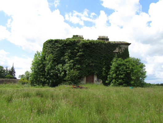 Cloverhillcountry house · 471 yd
 Cloverhill DemesneForest · 1084 yd
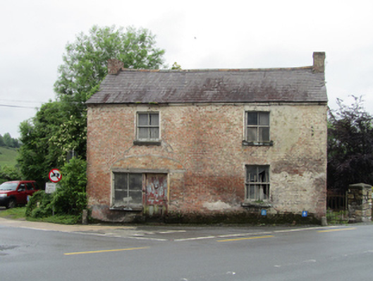 house, shop/retail outlethouse, shop/retail outlet · 1322 yd
 Rock WoodWood · 1.0 mi
 Bawn in KillyfanaBawn · 1.2 mi
 Friars Fort (Site of)Enclosure · 1.5 mi
 Friar's FortArchaeological place · 1.5 mi
 Grilly Castle in RuinsCastle, unclassified · 1.9 mi
 Annagh Lough BeachBeach / strand · 2.1 mi
 DrumakeenanMountain / peak · 2.2 mi
 DrumcalpinMountain / peak · 2.4 mi
 Belturbet Heritage Railway Station MuseumMuseum · 2.6 mi