What is recorded here
Cloonsheebane holds a twenty-metre earthen ring on a NW-facing slope, reduced now to a faint scarp and shallow fosse that cattle and grass have nearly erased. Susan Curran revealed the hidden shape through LiDAR data for her University College Dublin thesis, proving the pasture still conceals a deliberate boundary. The site lacks a clear entrance, suggesting the circle was never meant for easy human entry but for exclusion, ceremony or transformation.
Located towards the top of a NW-facing slope in improved pasture. It was first identified by Susan Curran as part of an M.A. thesis with University College Dublin using a LiDAR survey dataset commissioned by Leitrim County Council and the National Roads Authority. This is a circular area (diam. 21m NE-SW; 20m NW-SE) defined by the slight remains of an earthen bank (at NE: Wth of base 6.6m; Wth of top 2.5m; int. H 0.3m; ext. H 0.1m), which is reduced to an external scarp (Wth 2.1m; H 0.15m) W-N. There are traces of a fosse (at NE: Wth of top 5.6m; Wth of base 2.0m; ext. D 0.25m) N-E-S, on the upslope side. There is no recognisable entrance.
Compiled by: Michael Moore
Date of upload: 11 May, 2015
The monument record does not grant public access. Check the route and ask the landowner before entering private land.
- What survives
- Recorded monument
Places near here
 fortsFairy fort / earthen ringfort · 327 yd
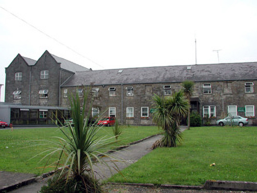 Saint Patrick's Hospitalworkhouse · 1137 yd
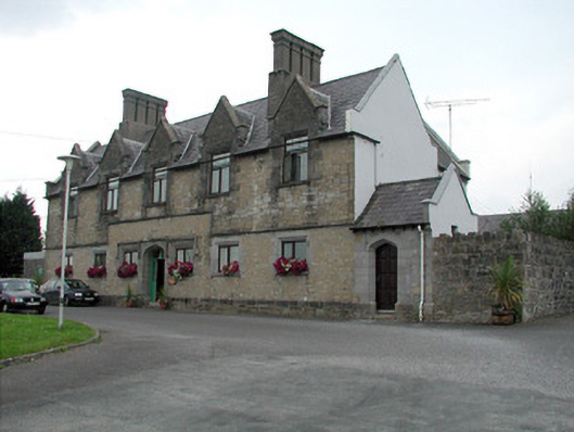 Summerhill Lodgeworkhouse administration block · 1180 yd
 CastlecarraCastle, unclassified · 1613 yd
 Enclosure in CloonmulliganEnclosure · 1620 yd
 Moon RiverHeritage attraction · 1.2 mi
 PortCastle, unclassified · 1.5 mi
 Shannon-Erne WaterwayVisitor information · 2.3 mi
 Battle of Áth an Chipbattle · 2.5 mi
 Hughestown WoodForest · 2.8 mi
 InishnagonIsland · 3.5 mi
 Leabaidh DermotCave · 3.7 mi