What is recorded here
Cloonmore is named for the dark tower of Cloonmore, which still stands as a ruin beside the road. The name belongs to the tower and the place around it. The fort may have shared that same identity before the tower took it.
On a low rise in poorly drained pasture. Depicted as a circular enclosure with the designation 'Fort' on 1837 ed. of the OS 6-inch map. Named 'Site of' on the 1887 revised ed. Not visible at ground level.
Compiled by: Patrick F. O'Donovan
Date of upload: 26 August 2011
The monument record does not grant public access. Check the route and ask the landowner before entering private land.
- What survives
- Recorded monument
Places near here
 Savage Bridgebridge · 546 yd
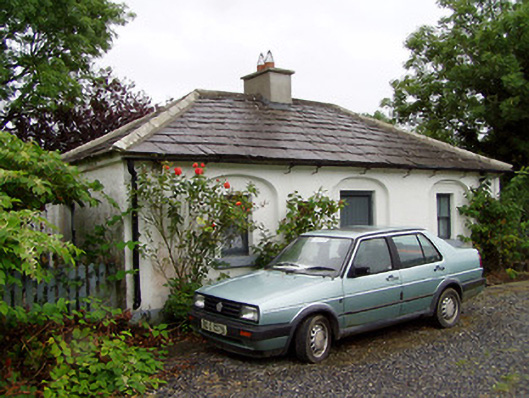 44th Locklock keeper's house · 578 yd
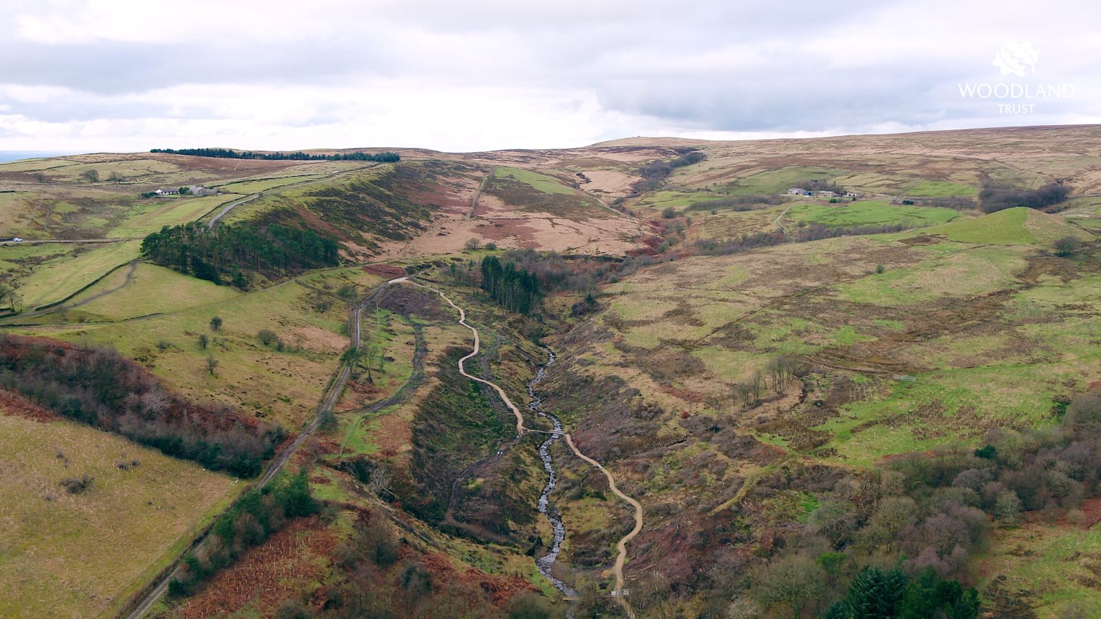 StructureStructure, peatland · 769 yd
 Enclosure in SharvogeEnclosure · 853 yd
 CastleCastle, tower house · 1511 yd
 Graveyard in Curry (ardagh By., Coolamber Ed)Graveyard · 2.3 mi
 First World War MemorialMemorial · 4.0 mi
 Bawn in AbbeycartronBawn · 4.1 mi
 Saint Mel's CathedralCathedral · 4.2 mi
 Commons North WalkVisitor information · 4.9 mi
 Wild birdsVisitor information · 5.0 mi
 White Sand WoodWood · 5.3 mi