What is recorded here
Fairy fort / earthen ringfort in Clooncullaan (roscommon By., Tulsk Ed) is a fairy fort or earthen ringfort in Clooncullaan (roscommon By., Tulsk Ed), County Roscommon, Ireland. The D-shaped grass and rush-covered area measures 29m E-W and 28m N-S on the W-facing slope of a broad hill. Straight sides at N and W are defined by an earthen bank 2-3m wide with internal height 0.2-0.5m and external height 0.5-1m, plus a fosse with top width 4.6m, base width 2.5m and external depth 0.5m on all sides except the N where there is a low scarp. No identifiable original entrance exists, but an outer bank 2.5m wide and 0.2m high SE-SW also circumscribes rath RO028-090001- immediately to the W, suggesting this monument may be an annexe to that rath.
On the W-facing slope of a broad hill. D-shaped grass and rush-covered area (dims 29m E-W; 28m N-S) with straight sides at N and W defined by an earthen bank (Wth 2-3m; int. H 0.2-0.5m; ext. H 0.5-1m) and fosse (Wth of top 4.6m; Wth of base 2.5m; ext. D 0.5m) on all sides except the N where there is a low scarp. There is no identifiable original entrance, but an outer bank (Wth c. 2.5m; ext. H 0.2m) SE-SW also circumscribes rath (RO028-090001-), which is immediately to the W. This monument may be an annexe to rath (RO028-090001-).
Compiled by: Michael Moore
Date of upload: 24 August 2010
The monument record does not grant public access. Check the route and ask the landowner before entering private land.
- What survives
- Recorded monument
Places near here
 IndicatedFairy fort / earthen ringfort · 335 yd
 Kilcooley Church (in Ruins)Church · 496 yd
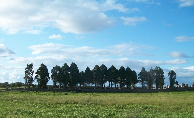 Grave YardGraveyard · 509 yd
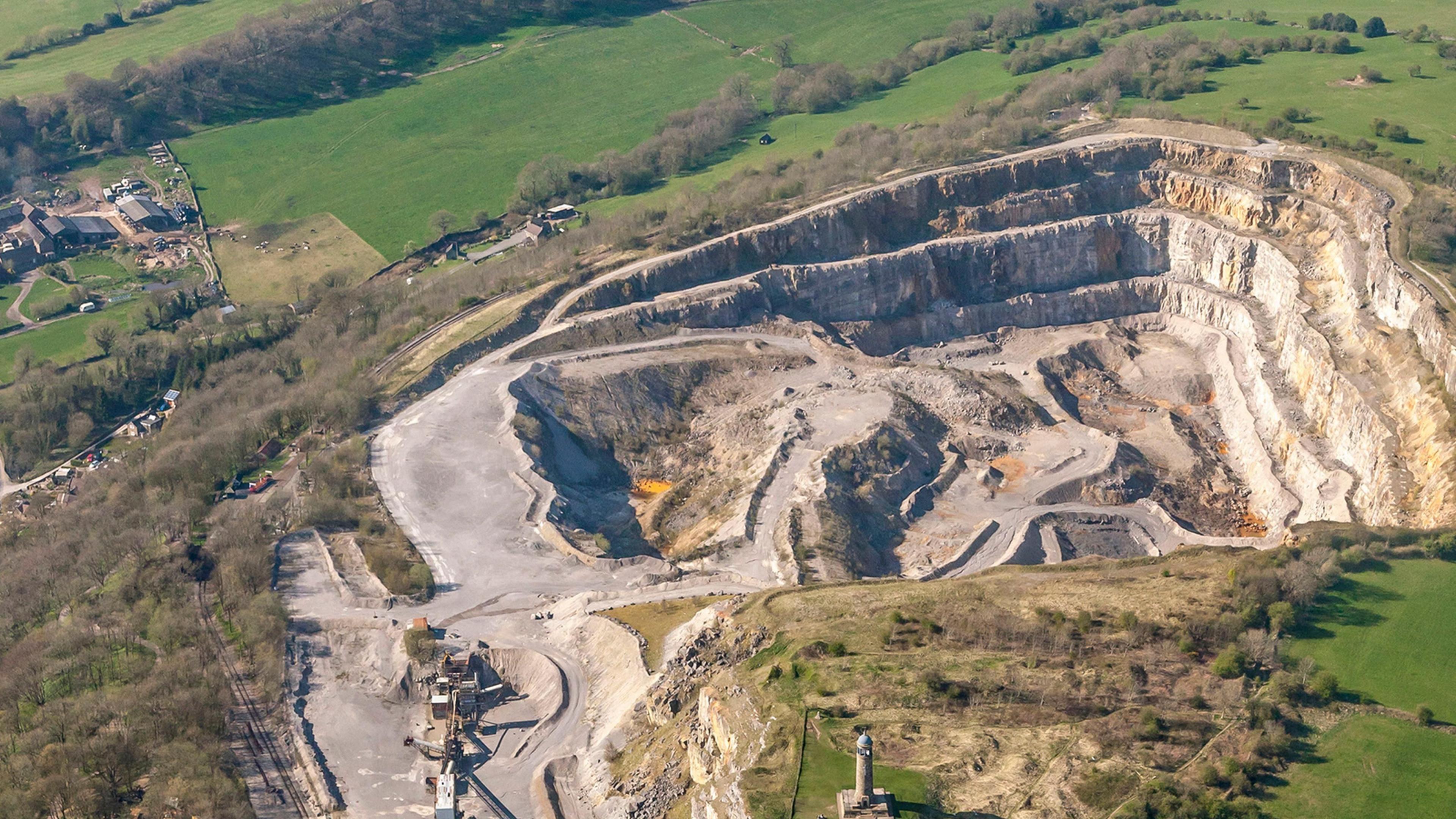 Quarry in Ardkeenagh (roscommon By.)Quarry · 1.2 mi
 Embanked enclosureCastle, unclassified · 1.5 mi
 Cruachan Aí Heritage CentreMuseum · 2.0 mi
 CastleCastle, unclassified · 2.0 mi
 ToberagullaSpring · 2.8 mi
 European ashEuropean ash · 2.8 mi
 Sweet ChestnutSweet Chestnut · 4.5 mi
 Strokestown House GardensHeritage attraction · 4.7 mi
 FerrinchIslet · 11 mi