What is recorded here
Clooncrippa holds a broken ring where a road cut through its water ditch and a field boundary swallowed part of the bank. What remains is a shallow scarped edge, a low earthen ridge and a level pasture floor in flat marshy ground. The facts do not say when people lived there, but the shape suggests a home old enough to lose half its outline before becoming a fairy fort in local memory.
In flat marshy terrain. Roughly circular area (31m N-S; 33m E-W) defined by scarped edge E->N (H 1m; Wth 4m), and enclosed by earthen bank N->NE (int. H 0.35m; ext. H 1.4m), with external fosse (D 0.6m; Wth 3m) E->S and NW->N. Fosse is truncated by public road W->NW. Enclosing element is truncated by field boundary NE->E. Interior level and under pasture.
Compiled by: Denis Power
Date of upload: 26 August 2011
The monument record does not grant public access. Check the route and ask the landowner before entering private land.
- What survives
- Recorded monument
Places near here
 BarrowBarrow, ring-barrow · 313 yd
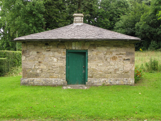 Heathfield Housegate lodge · 1235 yd
 Moated site in BallinruaneMoated site · 1449 yd
 CastleCastle, unclassified · 1.4 mi
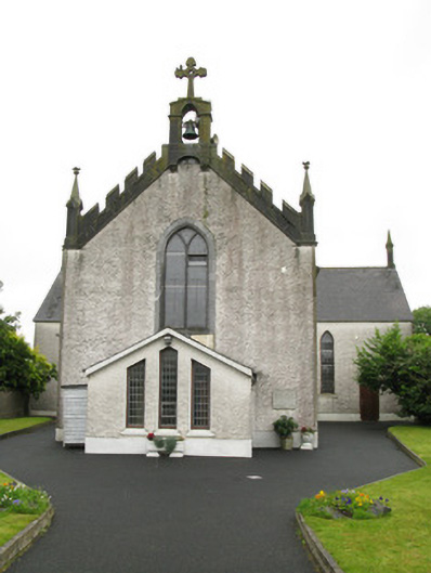 Saint Ita's Catholic Churchchurch/chapel · 1.5 mi
 Garbally WellSpring · 2.4 mi
 Castle (in ruins)Castle, hall-house · 2.5 mi
 Our Lady's WellSpring · 2.5 mi
 Famine stoneMemorial · 4.9 mi
 KnockfeerinaMountain / peak · 5.2 mi
 National Co-op MuseumMuseum · 5.2 mi
 Ballagh MountainMountain / peak · 9.1 mi