What is recorded here
Clooncah hides a broad oval ringfort where a gravelly scarp still stands one metre forty-five high beside wet pasture. People call it a fairy fort, but local memory suggests children may have slept beneath its central spine. The forgotten shape resists measurement, keeping small ghosts and human joy inside the same earth.
In pasture on a low rise, with areas of wettish ground to NE and NW and a stream valley c. 100m to SE. The townland boundary coincides with the N−S course of the stream.
Not shown on any edition of the OS 6-inch maps. Broadly oval area (38m N-S; 35.6m E-W) defined SSW−NNW by gravelly earthen scarp (Wth c. 4m; ext. H 1.45m) with a slightly raised rim (int. H 0.35m); at N−SE the scarp has been levelled but is still discernible as a slight surface undulation; at SE−S it is incorporated into a defunct field bank that respects the curve of the enclosure. A short section (L 7m) of scarp at SW is topped with a partly sod-covered jumble of stones (Wth 1.5m; H 0.2m).
A spine of raised ground (23m N-S; 17.4m E-W; H 1.3 at E, 1.6 at W) extends on a NNW-SSE axis through the centre of the interior. It has a narrow flatten top from which there is a marked slope to NW and W and a more gradual slope to E and SE. Traversing the centre of the raised spine, is a roughly N−S gapped single line of boulders, remnants of a defunct field boundary that originally continued beyond the enclosure. Towards the N end of the spine, immediately to E of the line of boulders, is a semi-circular or roughly L-shaped setting (c. 2m across) of partially sod-covered stones, open to NNE.
The central raised spine encompasses most of the interior of the enclosure, leaving a relatively narrow berm-like strip of fairly level interior space between it and the enclosing scarp. Within this level strip at SE is a small circular feature (diam. 2m) defined by a low sod-covered stony rim (Wth 0.2-0.4m) of small stones.
According to local information, this enclosure may have been used as a children’s burial ground (MA081-046002-).
Compiled by: Jane O’Shaughnessy
Date of upload: 8 December 2021
The monument record does not grant public access. Check the route and ask the landowner before entering private land.
- What survives
- Recorded monument
Places near here
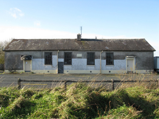 Doogary National Schoolschool · 689 yd
 Derrymeel FortFairy fort / earthen ringfort · 861 yd
 IndicatedFairy fort / earthen ringfort · 1153 yd
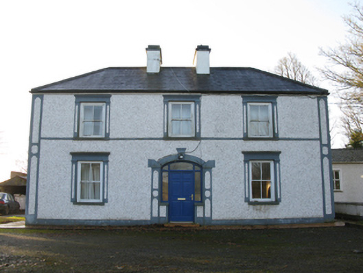 farm housefarm house · 1241 yd
 Rath Castle in ruinsCastle, tower house · 1.2 mi
 East Mayo Brigade MonumentMemorial · 1.4 mi
 CastleCastle, unclassified · 2.2 mi
 Knock ShrineHeritage attraction · 4.5 mi
 Knock MuseumMuseum · 4.5 mi
 I'll Send You The FareMemorial · 6.1 mi
 Thorn CaveCave · 6.5 mi
 Bawn IslandIslet · 17 mi